Benton County, Minnesota Property Appraiser – Search Records Online
In Benton County, Minnesota, 20,267 parcels are recorded. You can look up property details using the parcel number, owner name, or full address. Enter Parcel ID with dash (example: 27001-11-1-124900) to access ownership, tax, and property information quickly.
Minnesota Property Search
Search the public Minnesota parcel API by parcel number, owner name, or property address.
The Benton County, Minnesota Appraiser’s office maintains and updates detailed parcel information available for public reference. The county currently records 43,090 parcels along with 47,420 matched buildings, supported by aerial imagery from multiple years including 2011 through 2023. Address datasets were refreshed recently, identifying 14,361 secondary addresses across the county. In addition, standardized zoning classifications now cover 42,035 parcels, helping improve assessment accuracy, property records management, and the reliability of local tax roll data maintained by the county authorities.
Benton County, Minnesota Property Overview – 2026
Benton County has 14,727 residential properties and 1,159 commercial properties. Average single-family homes are 42 years old, measuring 1,430 sq. ft. Year-to-date 2026, there were 55 residential sales. About 0.9% of homes are seriously underwater, with an effective property tax rate of 0.92%.
Residential Properties
14,727
Commercial Properties
Avg. Home Age Single Family
Avg. Square Feet Single Family
Residential Sales 2026
Homes Seriously Underwater
Residential Sales past year
Rich Homes percentage
Effective 2026 Property Tax
Total Foreclosure Filings 2025
2
Nearby Counties
Explore counties surrounding Benton County to compare property data, tax information, and real estate trends. Reviewing nearby areas helps identify differences in home values, parcel details, and tax rates. Use internal links to navigate between neighboring counties and gain a broader perspective for better property research and investment decisions.
Top Cities in Benton County
The main cities in Benton County are Rice 3,367 Parcels, Sauk Rapids with 6,478 parcels, and Oak Park within the county totaling 433 parcels. These areas represent the county’s residential and commercial centers, contributing to parcel and zoning data.
Rice
3,367 Parcels
Oak Park
433 parcels
6,478 Parcels
Benton County, Minnesota Property Search Tool
Benton County’s Property Search Tool allows free, instant online access to property records. Search using parcel number, owner name, property address, or city name to view ownership, tax, and sales history quickly.
Search By Owner Name
Verify Benton County property ownership and current holder.
Search By Address
Locate Benton County properties by full address.
Search By Parcel PIN
Use parcel ID to search specific Benton County property details.
Search By City Name
If unknown, search by city to find Benton County parcels.
What Benton County, Minnesota Property Search Shows
The property search provides complete property information in Benton County, including ownership, tax, land values, and county assessment data, offering reliable insights for real estate research or verification.
Parcel Number
The parcel number in Benton County is a unique identifier for each property. It helps users quickly find ownership, tax, and property records accurately in the county system.
Owner Name
Owner name shows the registered property holder in Benton County. This helps confirm legal ownership and identify who currently holds rights to the property.
Full Site Address
The full site address provides the exact location of a property in Benton County, including street information for precise identification of the parcel.
Site Address City
The site address city indicates the municipality or community where the property is located. This helps users understand the regional location and local jurisdiction of the property.
Mailing Address
Mailing address is where property-related documents, tax notices, and bills are sent. In Benton County, this may differ from the actual site address.
Site Address Zip
Site address ZIP code identifies the postal region of a property in Benton County, ensuring proper delivery of mail and accuracy in property searches.
Land Value
Land value represents Benton County’s assessed value of land alone, excluding improvements, providing a baseline for property taxation and valuation.
Improved Value
Improved value shows the worth of buildings or structures on Benton County land, calculated separately from raw land value for accurate assessment.
Parcel Vaule
Parcel value in Benton County combines land and improvement values, giving the total property value used for taxes, assessments, and real estate analysis.
GIS Arces
GIS acres indicate property size in Benton County, measured using geographic mapping systems to determine the exact land area of the parcel.
Structure Year
Structure year shows when the main building on a Benton County property was built, helping users estimate age, condition, and historical value.
Last Sale Date
Last sale date lists the most recent property transfer in Benton County, providing insight into ownership history and market activity.
Tax Parcel Use Code Description
This describes how Benton County classifies property for taxation, such as residential, commercial, or agricultural, clarifying official use and assessment.
Full Legal Description
The full legal description in Benton County gives precise boundaries and legal identification for each property, supporting accurate documentation for transactions.
County Name
County name confirms the property belongs to Benton County, Minnesota, ensuring users know the official jurisdiction maintaining property records and taxes.
Benton County, MN Property Tax & Community Data
Community-level property and tax data across Benton County, Minnesota, including estimated parcels, population, land area, preliminary millage rates, and median property tax bills to provide insight into local taxation and real estate distribution.
| City / Community Name | Total Parcels (Est.) | Total Population (2026) | Area (Sq Mi) | Preliminary Millage Rate (2026) | Median Tax Bill (Est.) |
|---|---|---|---|---|---|
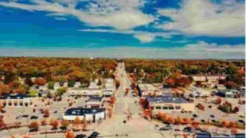
| Sauk Rapids | 6,478 | 13,862 | 6.5 | 60.12% | $2,600 – $3,000 |
| Rice | 3,367 | 1,975 | 6.1 | 42.45% | $2,200 – $2,500 |
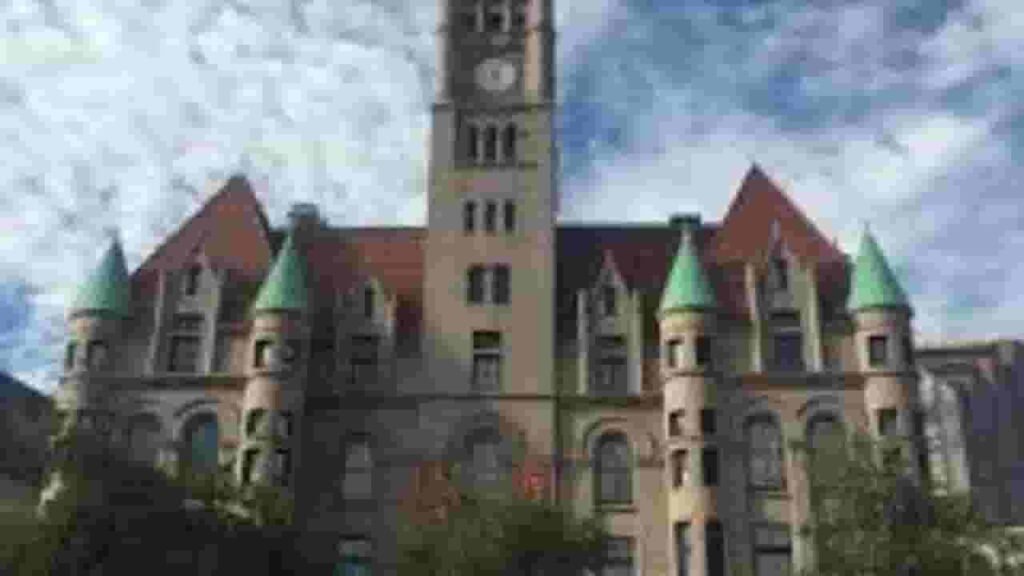
| Foley (County Seat) | 2,150 | 2,711 | 1.9 | 58.85% | $2,000 – $2,300 |
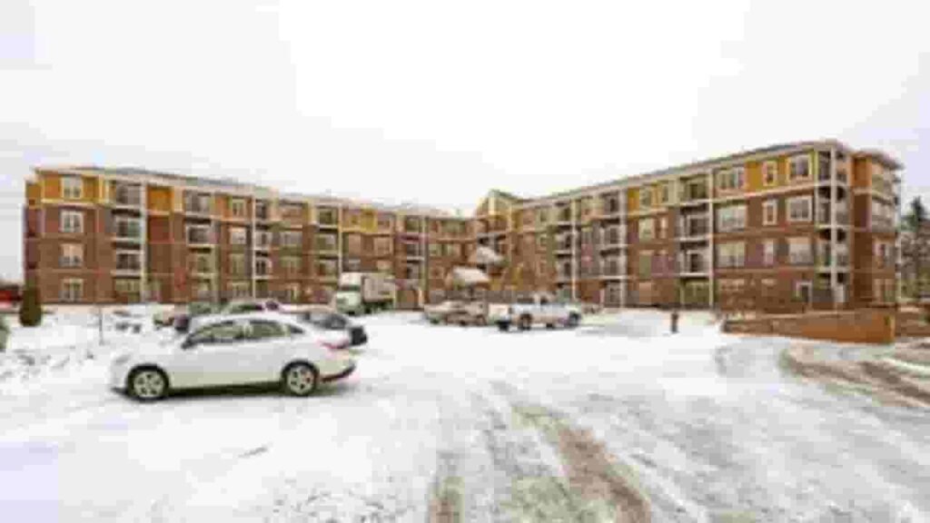
| Sartell (Benton side) | 1,800 | 2,100* | 2.4 | 52.30% | $2,800 – $3,200 |
| St. Cloud (Benton side) | 2,200 | 6,400* | 3.1 | 64.15% | $2,400 – $2,700 |
| Oak Park | 433 | ~100 (Uninc.) | N/A | 38.90% (Maywood Twp) | $1,600 – $1,900 |
| Gilman | 185 | 224 | 0.5 | 28.50% | $1,100 – $1,400 |
FAQs
How can I use the Benton County Minnesota property search map?
The property search map allows users to visually locate parcels, view property boundaries, and access ownership details throughout Benton County. It’s a quick way to explore property information interactively.
Can I perform a Benton County property search by address?
Yes, you can search properties using a specific address. This method provides ownership records, parcel details, and property tax information associated with the entered location.
How do I perform a Benton County property tax search?
Use the property tax search tool to check tax amounts, payment status, and assessed values. Searches can be done using the owner’s name, parcel ID, or property address.
What is Benton County property lookup and how does it work?
The property lookup tool provides detailed information about properties in Benton County, including ownership, parcel data, assessed values, and tax history, helping homeowners, investors, and researchers.
How can I use Benton County MN GIS property search?
The GIS property search provides an interactive map for analyzing land parcels, property boundaries, and ownership details. It is useful for planning, investment, and tax research within Benton County.