Clay County, Minnesota Property Appraiser – Search Your Records
In Clay County, Minnesota, there are 31,135 parcels available. You can look up property information using the parcel number, owner name, or property address. Enter Parcel ID with dash (example: 27001-11-1-124900). Access ownership, tax, and property data quickly.
Minnesota Property Search
Search the public Minnesota parcel API by parcel number, owner name, or property address.
The Clay County, Minnesota Appraiser’s office maintains and updates detailed parcel information for public access. The county tracks 31,135 parcels with 46,909 matched buildings using aerial imagery from 2008–2023. Secondary addresses for 36,107 properties have been verified. Zoning standards are applied to 29,481 parcels, ensuring correct property assessments, taxation, and official parcel records.
Clay County, Minnesota Property Overview – 2026
Clay County has 18,881 residential and 1,550 commercial properties. The average single-family home is 49 years old. In 2026, there have been 95 residential sales, 0.86% homes are seriously underwater, and effective property tax is 1.21%.
Residential Properties
18,881
Commercial Properties
Avg. Home Age Single Family
Avg. Square Feet Single Family
Residential Sales 2026
Homes Seriously Underwater
Residential Sales past year
Rich Homes percentage
Effective 2026 Property Tax
Total Foreclosure Filings 2025
4
Nearby Counties & Regional Connections
Clay County is closely connected with several neighboring counties, creating a strong regional network for residents, businesses, and visitors. These nearby areas share economic activity, transportation routes, and community resources. Exploring surrounding counties helps users discover additional services, opportunities, and local insights while improving navigation across related county pages through effective internal linking.
Major Cities in Clay County, Minnesota
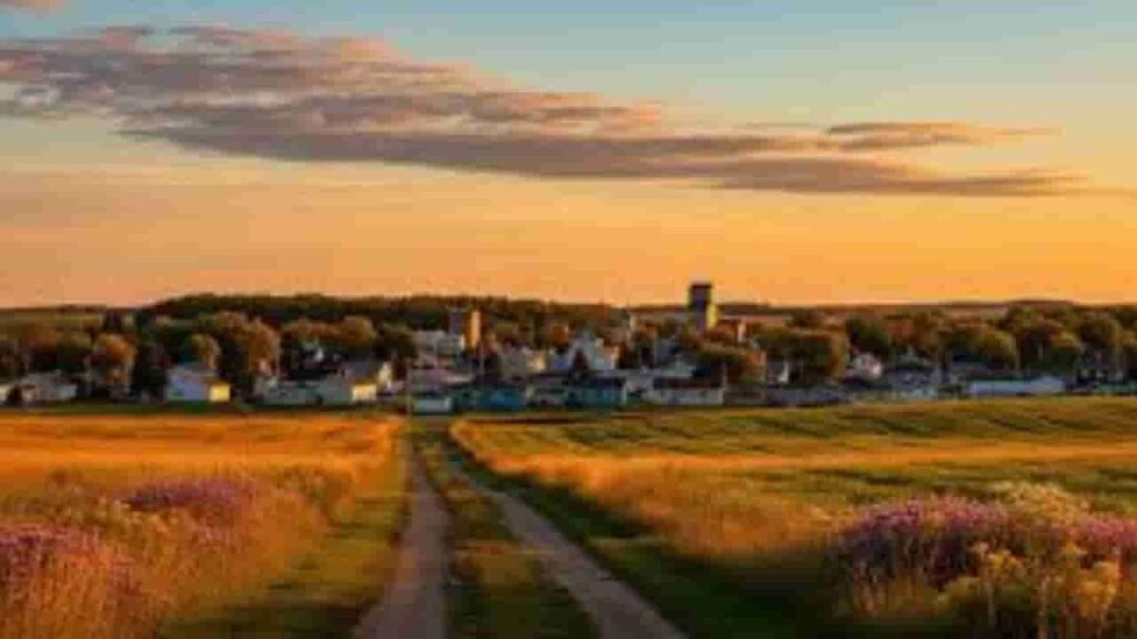
The main cities in Clay County, Minnesota include Hawley, Dilworth, and Glyndon. These cities represent major residential and commercial hubs, contributing significantly to property assessments, zoning management, and parcel tracking within the county.
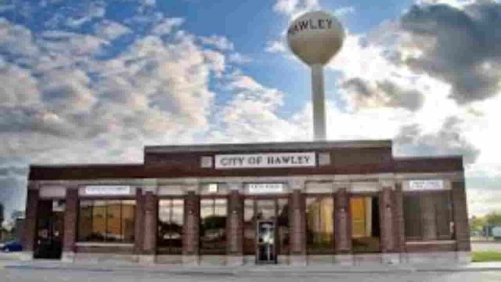
Hawley
1,795 Parcels
Glyndon
1,020 parcels

1,501 Parcels
Clay County, Minnesota Property Search Tool – 4 Methods
Clay County, Minnesota property search tool allows free online access to property records. Users can search by owner name, parcel number (PIN), address, or city name to quickly view ownership, tax records, sales history, and property details.
Search By Owner Name
Find property using the registered owner in Clay County, Minnesota records.
Search By Address
Lookup property info by physical address across Clay County, Minnesota.
Search By Parcel PIN
Enter parcel number for precise property search in Clay County, Minnesota.
Search By City Name
If other info is unavailable, use city name for property search in Clay County, Minnesota.
Clay County, Minnesota Property Search Details
The Clay County, Minnesota property search tool provides full property details. Search by owner name, parcel number, or address to access ownership information, tax data, land value, and official county records for accurate property research.
Parcel Number
Parcel number uniquely identifies each property in Clay County, Minnesota. It ensures precise location of ownership details, tax information, and property records within the search system.
Owner Name
The owner name section shows the legally registered property owner in Clay County, Minnesota, allowing users to verify ownership and determine current rights to the parcel.
Full Site Address
Full site address provides the complete physical location of properties in Clay County, Minnesota, including street and neighborhood details to locate the parcel easily.
Site Address City
Site address city identifies the municipality where the property is located in Clay County, Minnesota, helping users understand regional placement and local jurisdiction.
Mailing Address
Mailing address shows where tax notices, bills, and official property documents are sent. In Clay County, Minnesota, this may differ from the physical property location.
Site Address Zip
The site address ZIP indicates the postal code assigned to a property in Clay County, Minnesota, enhancing accuracy when verifying ownership or searching records.
Land Value
Land value represents the assessed worth of raw land in Clay County, Minnesota, separate from any structures, used for tax assessments and property valuation purposes.
Improved Value
Improved value reflects the estimated worth of buildings or enhancements on the land in Clay County, Minnesota, such as houses, commercial structures, or other constructions.
Parcel Vaule
Parcel value combines land and improvement values in Clay County, Minnesota, providing a total assessed value for tax purposes and accurate property evaluation.
GIS Arces
GIS acres measure the land area of a property in Clay County, Minnesota using mapping data, helping users understand the exact size of the parcel.
Structure Year
Structure year notes the original construction date of buildings on properties in Clay County, Minnesota, offering insight into building age and condition.
Last Sale Date
Last sale date records the most recent transaction for a property in Clay County, Minnesota, helping users track ownership history and market activity.
Tax Parcel Use Code Description
This code classifies parcels in Clay County, Minnesota for tax purposes, including residential, commercial, or agricultural categories, providing clarity for assessments and official records.
Full Legal Description
Full legal description provides the formal wording to define property boundaries and location in Clay County, Minnesota for documentation, sales, and legal purposes.
County Name
The county name confirms that all records pertain to Clay County, Minnesota, ensuring users know the responsible jurisdiction for property, tax, and parcel data.
Clay County, MN Property Tax & Community Data
Community-level property and tax data across Clay County, Minnesota, including estimated parcels, population, land area, preliminary millage rates, and median property tax bills to provide insight into local taxation and real estate distribution.
| City / Community Name | Total Parcels (Est.) | Total Population (2026) | Area (Sq Mi) | Preliminary Millage Rate (2026) | Median Tax Bill (Est.) |
|---|---|---|---|---|---|
| Moorhead | ~14,500 | 46,317 | 22.1 | ~62.5 | $2,950 |
| Dilworth | 1,501 | 4,913 | 3.4 | ~55.8 | $2,600 |
| Barnesville | ~1,350 | 2,766 | 2.1 | ~64.1 | $2,350 |
| Hawley | 1,795 | 2,293 | 2.5 | ~58.2 | $2,100 |
| Glyndon | 1,020 | 1,398 | 1.6 | ~60.4 | $2,250 |
| Sabin | ~280 | 593 | 0.4 | ~52.3 | $1,900 |
FAQs
What is the official phone number for Clay County, MN services?
The official Clay County, MN phone number can be found on the county’s government website, where residents can contact departments for property records, public safety, and general inquiries.
What is the current population of Clay County, MN?
Clay County, MN has a growing population, driven by its proximity to Fargo and strong local economy, making it a key residential and commercial hub in the region.
Which cities are located in Clay County, Minnesota?
Clay County includes several cities and communities, offering a mix of urban and rural living, with Moorhead being the largest and most well-known city in the county.
How can I perform a Clay County, MN property search?
You can use the Clay County property search tools online to access ownership details, tax records, parcel data, and property valuations through official GIS and assessment platforms.
Where can I find the Clay County jail roster and GIS map?
The Clay County jail roster and GIS map are available online, allowing users to view inmate records, geographic data, land boundaries, and mapping details for accurate public information.