Koochiching County MN Property, Appraiser Your Record Search
In Koochiching County, Minnesota, there are 55,270 parcels. You can search property records using parcel ID, owner name, or address. Enter parcel numbers with dash (example: 27001-11-1-124900) to view ownership, tax, and property details.
Minnesota Property Search
Search the public Minnesota parcel API by parcel number, owner name, or property address.
Koochiching County, Minnesota maintains and updates detailed parcel records for public access. The county currently manages 55,270 parcels and 28,191 linked buildings using aerial imagery and official datasets. Address data was recently refreshed, identifying 10,721 secondary addresses. Zoning and parcel datasets are standardized to ensure reliable property valuation, ownership tracking, and accurate tax assessment records.
Koochiching County, Minnesota Property Overview – 2026
Koochiching County contains, Minnesota contains 7,953 residential properties and 535 commercial properties. The typical single-family residence averages 60 years old with around 1,336 square feet of space. The county property tax rate is 0.83%.
Residential Properties
7,953
Commercial Properties
Avg. Home Age Single Family
Avg. Square Feet Single Family
Residential Sales 2026
Homes Seriously Underwater
Residential Sales past year
Rich Homes percentage
Effective 2026 Property Tax
Total Foreclosure Filings 2025
N/A
Neighboring County Around Koochiching County
Explore nearby counties surrounding Koochiching County to access regional property data, local services, and community insights. This section supports effective internal linking, helping users compare neighboring areas, review demographics, and discover valuable county-level resources across northern Minnesota for improved research, planning, and informed decision-making.
Main Cities in Koochiching County
The leading communities in Koochiching County include Kabetogama, Littlefork, and Loman. These areas serve as key residential and commercial centers. With a combination of rural landscapes, small-town neighborhoods, and developing properties, they play an important role in parcel tracking, zoning, and overall county property records management.
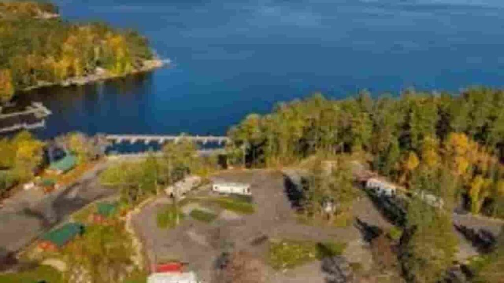
Kabetogama
688 Parcels
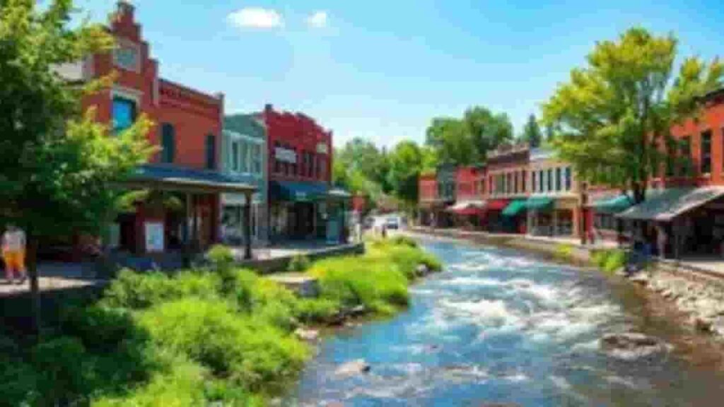
Littlefork
976 parcels

155 Parcels
Koochiching County MN Property Search Tool Has 4 Best Method
Our Koochiching County, Minnesota Property Search Tool allows users to access property records online at no cost. Search using owner name, parcel number (PIN), property address, or city name. Instantly explore ownership data, tax details, sales history, and complete parcel information within seconds.
Search By Owner Name
You can search property records in Koochiching County Minnesota using the registered owner name to quickly find ownership details and related parcel information.
Search By Address
You may also look up property information in Koochiching County Minnesota using a full or partial address to identify exact parcel details easily.
Search By Parcel PIN
Using the parcel number provides the most accurate search results in Koochiching County Minnesota, helping users directly locate specific property records without confusion.
Search By City Name
Our Koochiching County, Minnesota Property Search Tool offers detailed insights with every search. Users can access ownership records, tax data, land values, and official assessment information for accurate property research.
Koochiching County MN Property Search Tool Provide Property Data
Our Koochiching County, Minnesota Property Search Tool offers detailed insights with every search. Users can access ownership records, tax data, land values, and official assessment information for accurate property research.
Parcel Number
Parcel number is a unique identifier assigned to each property in Koochiching County Minnesota, allowing users to quickly access tax records, ownership details, and parcel-specific information accurately.
Owner Name
Owner name in Koochiching County Minnesota records identifies the legally registered property holder, helping users verify ownership details and confirm who holds rights for a specific parcel.
Full Site Address
Full site address in Koochiching County Minnesota shows the complete physical location of the property, including street information, making it easier to identify and locate the parcel accurately.
Site Address City
Site address city indicates the municipality where the property exists within Koochiching County Minnesota, helping users understand the local jurisdiction and geographic placement of the parcel clearly.
Mailing Address
Mailing address in Koochiching County Minnesota shows where official tax bills and property documents are delivered, which may sometimes differ from the actual physical property location.
Site Address Zip
Site address ZIP code represents the postal region assigned to the property in Koochiching County Minnesota, helping improve accuracy when searching, mailing, or verifying property records efficiently.
Land Value
Land value in Koochiching County Minnesota reflects the assessed worth of the land only, excluding buildings, and helps determine the base value used in property tax calculations.
Improved Value
Improved value in Koochiching County Minnesota represents the assessed worth of buildings or structures on the land, calculated separately from land value for accurate property assessment.
Parcel Vaule
Parcel value in Koochiching County Minnesota combines land and improvement values to provide a total assessed worth, which is used for determining property taxes and valuation purposes.
GIS Arces
GIS acres in Koochiching County Minnesota measure property size using mapping technology, helping users understand the exact land area associated with a specific parcel accurately.
Structure Year
Structure year in Koochiching County Minnesota indicates when the main building was constructed, helping users estimate property age, condition, and potential maintenance or renovation needs.
Last Sale Date
Last sale date in Koochiching County Minnesota shows when the property was last transferred, helping users review ownership history and analyze recent real estate market activity.
Tax Parcel Use Code Description
This section in Koochiching County Minnesota explains property classification such as residential, commercial, or agricultural, helping users understand how the parcel is categorized for taxation.
Full Legal Description
Full legal description in Koochiching County Minnesota provides the official property identification used in legal records, ensuring clear boundary definitions and accurate documentation for ownership transactions.
County Name
County name confirms the property belongs to Koochiching County Minnesota, helping users verify jurisdiction and ensuring the correct authority maintains property records and tax data.
Koochiching County, MN Property Tax & Community Data
Detailed community-level property and tax statistics for Koochiching County, Minnesota, including estimated parcel counts, population figures, land area, preliminary millage rates, and median property tax bills to better understand local taxation patterns and property distribution.
| City / Community Name | Total Parcels (Est.) | Total Population (2026) | Area (Sq Mi) | Preliminary Millage Rate (2026) | Median Tax Bill (Est.) |
|---|---|---|---|---|---|
| Intl. Falls (County Seat) | ~3,800 | 5,715 | 6.51 | 128.40% | $2,150 |
| Littlefork | 976 | 632 | 1.15 | 114.20% | $1,820 |
| Ranier | ~450 | 585 | 1.00 | 48.75% | $2,900 |
| Big Falls | ~350 | 230 | 6.00 | 95.10% | $1,250 |
| Northome | ~320 | 145 | 1.50 | 142.30% | $1,100 |
| Kabetogama (Twp) | 688 | 135 | 36.5 | 32.15% | $3,150 |
| Loman (Unorg.) | 155 | 75 | 1.0 | 28.90% | $2,400 |
FAQs
How can I check the Koochiching County jail roster and warrant list?
You can access the Koochiching County jail roster online to view inmate details, booking records, and custody status. The county also provides a warrant list for public awareness and law enforcement transparency.
Where can I find the Koochiching County court calendar and case lookup tools?
The Koochiching County court calendar and case lookup systems allow users to track hearings, review case details, and stay updated on legal proceedings through official judicial resources.
How do I use Koochiching County GIS and map services?
Koochiching County GIS tools provide interactive maps, property boundaries, land use details, and geographic data, helping users explore locations and plan research efficiently.
How can I perform a Koochiching County property search and tax lookup?
Residents can use online property search and tax lookup tools to access parcel information, ownership records, assessed values, and current property tax details.
Where can I view the official Koochiching County map and location data?
The Koochiching County map is available through GIS platforms and public resources, offering accurate geographic insights, boundaries, and land information for navigation and planning.