Meeker County MN Property Appraiser, Search Your Record Lookup
In Meeker County, Minnesota, there are 18,271 parcels available. You can search property records using parcel number, owner name, or address. For Parcel ID searches, enter values with dash (example: 27001-11-1-124900) to view ownership, tax, and property details.
Minnesota Property Search
Search the public Minnesota parcel API by parcel number, owner name, or property address.
Meeker County, Minnesota’s Appraiser office maintains and updates detailed parcel records for public use. The county manages 18,271 parcels and 37,140 matched buildings, using aerial imagery from 2010 through 2023. Address datasets were recently refreshed, identifying 13,989 secondary addresses. Zoning classifications have been standardized for 16,956 parcels, ensuring accurate assessments, reliable parcel data, and updated tax roll information.
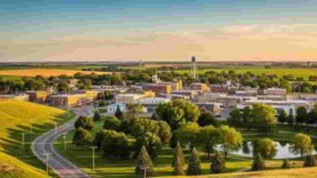
Meeker County, Minnesota Property Overview – 2026
Meeker County includes 11,037 residential properties and 867 commercial properties. The average single-family home is 51 years old with 1,290 sq. ft. In 2026, there were 25 residential sales, while 1.94% of homes are seriously underwater. The effective property tax rate is 0.79%.
Residential Properties
11,037
Commercial Properties
Avg. Home Age Single Family
51 Years
Avg. Square Feet Single Family
1,290 sq. ft
Residential Sales 2026
25
Homes Seriously Underwater
1.94%
Residential Sales past year
278
Rich Homes percentage
30.69%
Effective 2026 Property Tax
0.79%
Total Foreclosure Filings 2025
1
Nearby Counties of Meeker County Minnesota
Explore nearby counties of Meeker County to find more property insights, local opportunities, and regional information. These surrounding areas offer similar market trends, community features, and resources. Internal linking to these counties helps users easily navigate related content and discover valuable information across neighboring regions.
Top Cities in Meeker County
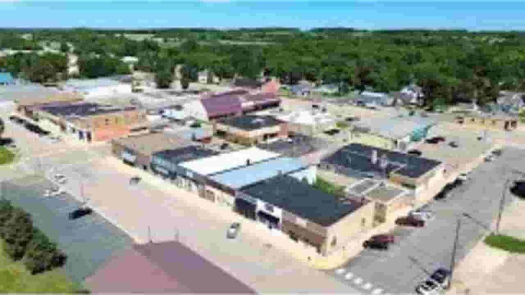
The main cities in Meeker County include Litchfield, Dassel, and Darwin, serving as key residential and commercial centers. These communities combine historic neighborhoods, modern housing, and active local economies, contributing to property valuation, zoning records, and parcel tracking managed by the County Appraiser’s office.
Litchfield
4,639 Parcels
Dassel
2,494 parcels
913 Parcels
Meeker County MN Property Search Tool Has 4 Best Method
Our Meeker County, Minnesota Property Search Tool provides free online access to property records. You can search using owner name, parcel number (PIN), property address, or city name. Instantly view ownership details, tax records, sales history, and full property data in seconds.
Search By Owner Name
You can search property ownership in Meeker County Minnesota using the owner name to quickly find associated parcels, ownership records, and tax-related information within the system.
Search By Address
Property details in Meeker County MN can be searched using the complete or partial address, allowing users to locate accurate parcel information and ownership data efficiently.
Search By Parcel PIN
Parcel number search provides exact results in Meeker County Minnesota, helping users retrieve precise property records, tax details, and ownership information without confusion or duplication.
Search By City Name
If other information is unavailable, users can search properties in Meeker County MN by entering the city name in the address field to locate relevant parcel records.
Meeker County MN Property Search Tool Provide Information
Our Meeker County, Minnesota Property Search Tool offers complete property insights. Search by owner name, parcel number, or address to access ownership records, tax data, land values, and official county assessment details for accurate real estate research.
Parcel Number
Parcel number is a unique identifier assigned to each property in Meeker County Minnesota, helping users locate accurate records, ownership information, and tax details quickly within the system.
Owner Name
Owner name section shows the registered property owner in Meeker County Minnesota records, allowing users to confirm ownership and identify who holds legal rights to a parcel.
Full Site Address
Full site address provides the exact physical location of a property in Meeker County Minnesota, including street details that help users easily identify where the parcel exists.
Site Address City
Site address city identifies the municipality where a property is located within Meeker County Minnesota, helping users understand its regional placement and governing jurisdiction clearly.
Mailing Address
Mailing address shows where official tax bills, notices, and documents are delivered for properties in Meeker County Minnesota, which may differ from the physical property address.
Site Address Zip
Site address ZIP code represents the postal region assigned to a property in Meeker County Minnesota, improving search accuracy and helping users verify property records effectively.
Land Value
Land value reflects the assessed worth of land only in Meeker County Minnesota, excluding any buildings, and helps determine the base value used for property tax calculations.
Improved Value
Improved value represents the assessed worth of structures or buildings on a property in Meeker County Minnesota, calculated separately from the underlying land value.
Parcel Vaule
Parcel value is the total assessed value in Meeker County Minnesota, combining both land and improvement values to determine the prope’s overall taxable amount.
GIS Arces
GIS acres indicate the size of a property in Meeker County Minnesota based on geographic mapping data, helping users understand the exact land area of a parcel.
Structure Year
Structure year refers to the year the main building was constructed in Meeker County Minnesota, helping estimate the property’s age and potential condition for buyers or researchers.
Last Sale Date
Last sale date shows when a property in Meeker County Minnesota was last sold or transferred, helping users review ownership history and recent market activity.
Tax Parcel Use Code Description
This section explains how a property in Meeker County Minnesota is classified for taxation, such as residential, commercial, or agricultural, helping users understand its official category.
Full Legal Description
Full legal description provides the official wording used to define property boundaries in Meeker County Minnesota, ensuring accurate identification for legal records and transactions.
County Name
County name confirms that the property record belongs to Meeker County Minnesota, helping users verify the jurisdiction responsible for maintaining property data and tax information.
Meeker County, MN Property Tax & Community Data
Community-level property and tax data across Meeker County, Minnesota, including estimated parcels, population, land area, preliminary millage rates, and median property tax bills to provide insight into local taxation and real estate distribution.
| City / Community Name | Total Parcels (Est.) | Total Population (2026) | Area (Sq Mi) | Preliminary Millage Rate (2026) | Median Tax Bill (Est.) |
|---|---|---|---|---|---|
| Litchfield | 4,639 | 6,585 | 5.56 | ~115% – 130% | $2,180 |
| Dassel | 2,494 | 1,482 | 1.70 | ~105% – 120% | $1,920 |
| Darwin | 913 | 344 | 1.00 | ~95% – 110% | $1,650 |
| Grove City | ~620 | 632 | 0.65 | ~110% – 125% | $1,580 |
| Watkins | ~580 | 985 | 0.72 | ~100% – 115% | $1,720 |
| Cosmos | ~450 | 465 | 0.95 | ~115% – 130% | $1,440 |
FAQs
How can I perform a property search by owner in Meeker County?
You can search properties in Meeker County Minnesota by entering the owner’s name through the official property records or GIS portal.
Is it possible to find property details using an address in Meeker County?
Yes, property search by address is available through the county’s online tools, allowing users to access ownership, valuation, and tax details.
How are property taxes calculated in Meeker County?
Property taxes in Meeker County Minnesota are based on assessed property value and local tax rates set by the county and municipalities.
Where can I view or download Meeker County property tax statements?
Property tax statements can be accessed online through the county’s official website or requested from the local tax office.
What is the Meeker County GIS map used for?
The GIS map helps users explore property boundaries, zoning, and geographic data, making it easier to analyze land and property information.