Crow Wing County MN Property Appraiser, Search Your Record Details
In Crow Wing County Minnesota, there are about 79,228 parcels. You can find property records using parcel number, owner name, or address. Enter Parcel ID with dash (example: 27001-11-1-124900) to access tax, ownership, and property details quickly.
Minnesota Property Search
Search the public Minnesota parcel API by parcel number, owner name, or property address.
Crow Wing County, Minnesota’s property records system is maintained by the county assessor’s office, ensuring accurate and regularly updated parcel information for public access. The county currently manages 79,228 parcels along with 100,924 mapped buildings using advanced aerial imagery and geographic datasets. Address records were recently refreshed, identifying 48,291 secondary addresses across the county. In addition, zoning classifications have been standardized for 69,071 parcels, helping improve property valuation accuracy, tax assessments, and land-use records throughout the region.
Crow Wing County, Minnesota Property Overview – 2026
Crow Wing County includes 43,889 residential properties and 3,966 commercial properties. The average single-family home is around 40 years old with approximately 1,508 square feet. In 2026, sales data is currently unavailable, while the effective property tax rate stands at 0.56%.
Residential Properties
43,889
Commercial Properties
3,966
Avg. Home Age Single Family
Avg. Square Feet Single Family
Residential Sales 2026
Homes Seriously Underwater
Residential Sales past year
Rich Homes percentage
N/A
Effective 2026 Property Tax
0.56%
Total Foreclosure Filings 2025
15
Nearby Counties Around Crow Wing County
Explore surrounding counties near Crow Wing County to discover regional property insights, local services, and community data. This section helps users easily navigate nearby areas for better comparison, internal linking, and broader research on real estate trends, demographics, and county-level resources within the Minnesota region for smarter decisions.
Popular Cities in Crow Wing County
The leading cities in Crow Wing County include Crosslake with a large number of parcels, as a growing residential hub, Merrifield and Fifty lakes known for its community development. These areas serve as key centers for housing and business activity. With a combination of established neighborhoods, expanding developments, and active local economies, they play a vital role in property valuation, zoning systems, and parcel management handled by the county authorities.
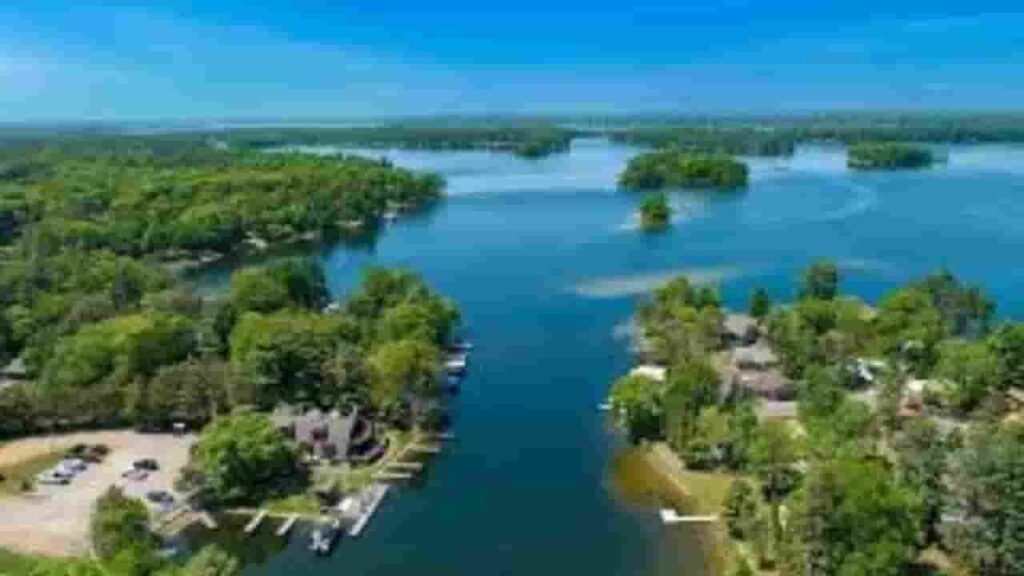
Crosslake
4,381 Parcels
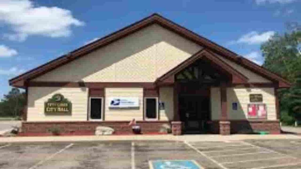
Fifty lakes
830 parcels

2,142 Parcels
Crow Wing County MN Property Search Tool Has 4 Best Method
Our Crow Wing County, Minnesota Property Search Tool allows users to easily explore property data online at no cost. Search using owner name, parcel number (PIN), property address, or city name. Instantly access ownership records, tax details, transaction history, and full property insights within seconds.
Search By Owner Name
You can search property records in Crow Wing County Minnesota using the owner’s full name to quickly identify ownership details and associated parcel information.
Search By Address
Users can also locate property information in Crow Wing County Minnesota by entering the full property address to retrieve accurate parcel records and tax details instantly.
Search By Parcel PIN
Using the parcel number provides the most precise way to find property records in Crow Wing County Minnesota with exact ownership, tax, and valuation information.
Search By City Name
If other details are unavailable, you can search properties in Crow Wing County Minnesota by entering the city name within the address field for broader results.
Crow Wing County MN Property Search Tool Provide Information
Our Crow Wing County, Minnesota Property Search Tool provides detailed property data with every lookup. Search by owner name, parcel number, or address to view ownership records, tax data, land values, and official county assessment details for accurate real estate insights.
Parcel Number
Parcel number uniquely identifies each property in Crow Wing County Minnesota, allowing users to quickly access accurate records, ownership data, and tax details through the property search system.
Owner Name
Owner name in Crow Wing County Minnesota records displays the legally registered property holder, helping users verify ownership and confirm who currently holds rights to a specific parcel.
Full Site Address
Full site address shows the exact physical location of a property in Crow Wing County Minnesota, including street details that help users clearly identify the parcel location.
Site Address City
Site address city indicates the municipality within Crow Wing County Minnesota where the property exists, helping users understand local jurisdiction and regional placement of that parcel accurately.
Mailing Address
Mailing address in Crow Wing County Minnesota records shows where official documents and tax notices are delivered, which may differ from the property’s actual physical location.
Site Address Zip
Site address ZIP code defines the postal region of a property in Crow Wing County Minnesota, improving search accuracy and helping users verify correct mailing and location details.
Land Value
Land value represents the assessed worth of land only in Crow Wing County Minnesota, excluding structures, helping determine base property valuation for taxation and assessment purposes.
Improved Value
Improved value in Crow Wing County Minnesota reflects the assessed worth of buildings or structures added to the land, calculated separately from the land’s base value.
Parcel Vaule
Parcel value combines both land and improvement values in Crow Wing County Minnesota, giving a complete assessed total used for determining property taxes and financial evaluation.
GIS Arces
GIS acres measure property size in Crow Wing County Minnesota using mapping technology, helping users understand the exact land area associated with a specific parcel record.
Structure Year
Structure year indicates when the primary building on a property in Crow Wing County Minnesota was constructed, helping estimate age, condition, and overall property lifecycle value.
Last Sale Date
Last sale date in Crow Wing County Minnesota shows when the property was most recently transferred, allowing users to review ownership history and recent real estate activity.
Tax Parcel Use Code Description
This section in Crow Wing County Minnesota explains property classification such as residential, commercial, or agricultural, helping users understand how the parcel is categorized for taxation.
Full Legal Description
Full legal description provides official wording used in Crow Wing County Minnesota records to define property boundaries, ensuring precise identification for ownership, legal, and transaction purposes.
County Name
County name confirms that the property belongs to Crow Wing County Minnesota, helping users verify jurisdiction and identify the authority responsible for maintaining property records and taxes.
Crow Wing County, MN Property Tax & Community Data
Community-level property and tax data across Crow Wing County, Minnesota, including estimated parcels, population, land area, preliminary millage rates, and median property tax bills to provide insight into local taxation and real estate distribution.
| City / Community Name | Total Parcels (Est.) | Total Population (2026) | Area (Sq Mi) | Preliminary Millage Rate (2026) | Median Tax Bill (Est.) |
|---|---|---|---|---|---|
| Brainerd | 6,400* | 14,350 | 12.64 | Contact County | Variable |
| Baxter | 5,800* | 9,150 | 18.23 | Contact County | Variable |
| Crosslake | 4,381 | 2,420 | 36.91 | Contact County | Variable |
| Nisswa | 3,100* | 2,100 | 18.34 | Contact County | Variable |
| Merrifield | 2,142 | 165** | 1.10** | Contact County | Variable |
| Pequot Lakes | 1,950* | 2,410 | 18.15 | Contact County | Variable |
| Fifty Lakes | 830 | 415 | 33.00 | Contact County | Variable |
FAQs
How can I perform a Crow Wing County property search online?
You can access the Crow Wing County property search through official county tools, where you’ll find ownership records, parcel details, tax data, and valuation information for residential and commercial properties.
Where can I access Crow Wing County MN GIS maps and data?
Crow Wing County MN GIS services provide interactive maps with detailed land boundaries, zoning information, and geographic data, helping users explore properties and locations efficiently.
What does the Crow Wing County Sheriff’s Office handle?
The Crow Wing County Sheriff’s Office is responsible for law enforcement, public safety, and managing the county jail roster, including inmate information and community protection services.
What is the population of Crow Wing County and where is it located?
Crow Wing County is located in central Minnesota and has a steadily growing population, known for its lakes, tourism, and strong local communities.
How can I contact the Crow Wing County Courthouse and find jail roster details?
You can contact the Crow Wing County Courthouse using the official phone number listed on their website, and access the jail roster online for updated inmate records and related public information.