Rice County, Minnesota Property Appraiser, Search Property Records
In Rice County, Minnesota, there are 28,140 parcels available. You can search property details using the parcel number, owner name, or street address. For parcel ID searches, enter with dash (example: 27001-11-1-124900). Access property ownership, tax information, and assessed values easily online.
Minnesota Property Search
Search the public Minnesota parcel API by parcel number, owner name, or property address.
The Rice County Appraiser’s office maintains and updates a complete parcel database for public access. Currently, the county tracks 28,140 parcels and 53,170 matched buildings using recent aerial imagery and property information. Secondary address records include 31,247 locations, while standardized zoning applies to 27,929 parcels, supporting precise property assessments, taxation, and official county records.
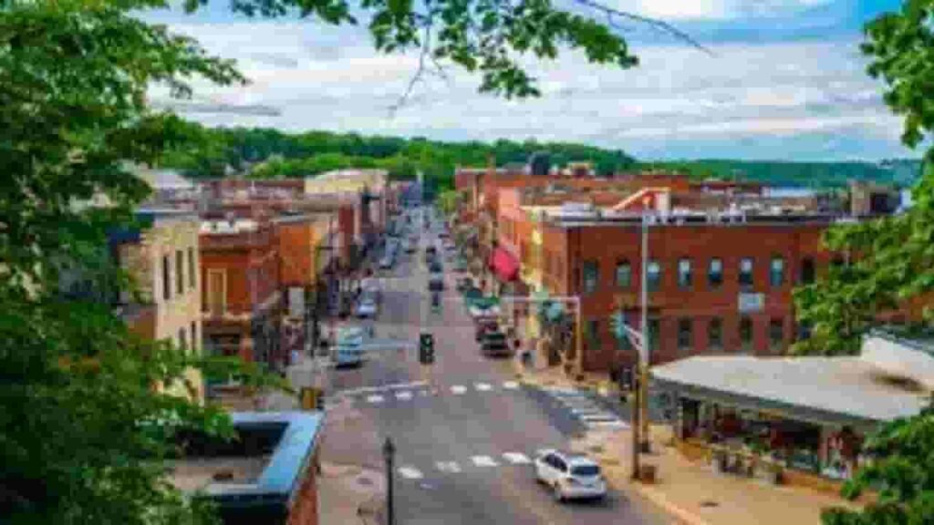
Rice County, Minnesota Property Overview – 2026
Rice County has 24,167 residential properties and 1,310 commercial properties. Single-family homes average 51 years in age with 1,592 sq. ft. In 2026, 105 residential properties have sold year-to-date. Around 0.8% of homes are seriously underwater, and the effective property tax rate is 0.87%.
Residential Properties
24,167
Commercial Properties
Avg. Home Age Single Family
Avg. Square Feet Single Family
Residential Sales 2026
Homes Seriously Underwater
Residential Sales past year
Rich Homes percentage
Effective 2026 Property Tax
Total Foreclosure Filings 2025
7
Explore Nearby Regions Connected to Rice County, Minnesota
Take a broader view by exploring counties surrounding Rice County for additional property insights, local statistics, and regional trends. These nearby areas offer valuable comparisons and extended data. Internal linking across neighboring counties helps users navigate smoothly and discover more relevant property information within the region.
Famous Cities in Minnesota County
The largest communities in Rice County include Webster, Northfield and Nerstrand. These cities are the main residential and commercial hubs, supporting property assessments, zoning management, and parcel tracking for the county.

Webster
904 Parcels

Northfield
8,126 parcels
506 Parcels
Rice County, Minnesota Property Search Tool Has 4 Best Methods
The Rice County property search tool makes it simple to access parcel records online at no cost. You can search by:
Search By Owner Name
Find property ownership using the registered owner in Rice County.
Search By Address
Look up property data by its full street address.
Search By Parcel PIN
Use the unique parcel ID to locate exact property records.
Search By City Name
If no other info is available, search by city within Rice County.
Rice County Property Records Provide Comprehensive Details
The Rice County property search tool delivers complete insights with each query. Users can view ownership information, tax details, assessed land and building values, sales history, and official zoning information for accurate real estate research.
Parcel Number
Every property in Rice County has a unique parcel number to identify and access ownership, tax, and assessment records quickly and accurately.
Owner Name
The property owner listed in Rice County records helps verify legal ownership and current rights to each parcel.
Full Site Address
Provides the precise physical location of the property within Rice County, including street and lot information for easy identification.
Site Address City
Indicates the city or municipality of the property in Rice County, clarifying local jurisdiction and regional context.
Mailing Address
Shows where official notices, tax bills, and correspondence are sent; may differ from the physical site address in Rice County.
Site Address Zip
Identifies the postal region assigned to the property in Rice County for accurate correspondence and record verification.
Land Value
Reflects the assessed value of the land alone in Rice County, excluding buildings or improvements.
Improved Value
Represents the value of any structures or enhancements on the property, calculated separately from the land value.
Parcel Vaule
Combines land and improvement values for the total assessed property worth, used for tax assessments in Rice County.
GIS Arces
Shows the property size calculated via GIS mapping in Rice County, helping determine the precise land area.
Structure Year
Indicates the construction year of the main building on the property in Rice County, useful for age and condition estimation.
Last Sale Date
Displays the most recent transfer or sale date of the property, allowing review of recent market activity in Rice County.
Tax Parcel Use Code Description
Explains how Rice County classifies properties for taxation, including residential, commercial, or agricultural use.
Full Legal Description
Provides the official legal wording used to define property boundaries and location in Rice County records.
County Name
Confirms the property record belongs to Rice County, Minnesota, verifying the responsible jurisdiction for taxes and property data.
Rice County, MN Property Tax & Community Data
Community-level property and tax information across Rice County, Minnesota, showing estimated parcels, population, land area, preliminary millage rates, and median property tax bills to provide insight into local taxation and real estate distribution.
| City / Community Name | Total Parcels (Est.) | Total Population (2026) | Area (Sq Mi) | Preliminary Millage Rate (2026) | Median Tax Bill (Est.) |
|---|---|---|---|---|---|
| Northfield | 8,126 | 20,924 | 8.6 | 36.5% – 39.2% | $3,800 – $4,400 |
| Webster (Township) | 904 | 1,862 | 35.1 | 18.2% – 21.5% | $2,100 – $2,600 |
| Nerstrand | 506 | 285 | 0.4 | 42.1% – 45.8% | $1,250 – $1,600 |
| Faribault (Seat) | 8,500+ | 24,150 | 15.6 | 38.4% – 41.0% | $2,950 – $3,450 |
FAQs
How can I search for property by address in Rice County?
You can use the county’s official property search tools to look up records by entering a property address and accessing ownership, valuation, and tax details.
Is there a way to search properties by owner for free?
Yes, Rice County offers free basic property search options where users can find records using the owner’s name.
What does the Rice County property search map show?
The map provides an interactive view of parcels, boundaries, and land details, helping users explore property locations visually.
What is the Beacon map in Rice County?
The Beacon map is an online GIS tool that allows users to access detailed property data, including parcel information and geographic features.
How can I pay property taxes in Rice County?
Property taxes can be paid online, by mail, or in person through the county’s official payment system.