Dodge County MN Property Appraiser, Search Your Record Lookup
In Dodge County, Minnesota, there are 12,331 parcels. Search property records using parcel number, owner name, or address. Put parcel PIN with dash (example: 27001-11-1-124900) to view ownership, tax, and property details.
Minnesota Property Search
Search the public Minnesota parcel API by parcel number, owner name, or property address.
The Dodge County Appraiser’s office manages 12,331 parcels and 24,701 matched buildings using 2021 and 2023 imagery. Records include 11,976 secondary addresses and standardized zoning for 12,316 parcels, aiding accurate assessments and tax rolls.
Dodge County, Minnesota Property Overview – 2026
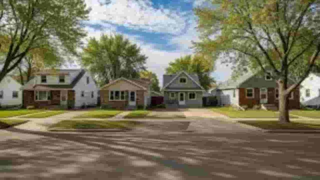
Dodge County contains 7,621 residential and 406 commercial properties. Single-family homes average 46 years old and 1,517 sq. ft. In 2026, 26 residential sales occurred, 0.8% of homes are seriously underwater, and effective property tax is 0.92%.
Residential Properties
7,621
Commercial Properties
Avg. Home Age Single Family
Avg. Square Feet Single Family
Residential Sales 2026
Homes Seriously Underwater
Residential Sales past year
Rich Homes percentage
Effective 2026 Property Tax
Total Foreclosure Filings 2025
3
Nearby Counties
Discover counties near Dodge County to expand your property research and strengthen internal linking. Comparing surrounding areas helps evaluate property values, tax data, parcel insights, and real estate trends. Use these links to navigate across neighboring counties, uncover regional patterns, and make smarter, data-driven property and investment decisions.
Top Cities in Dodge County, Minnesota
Dodge County’s main communities include Mantorville, Kasson, and Hayfield. These areas represent primary residential and commercial centers, providing significant contributions to parcel tracking, property assessments, and zoning records.
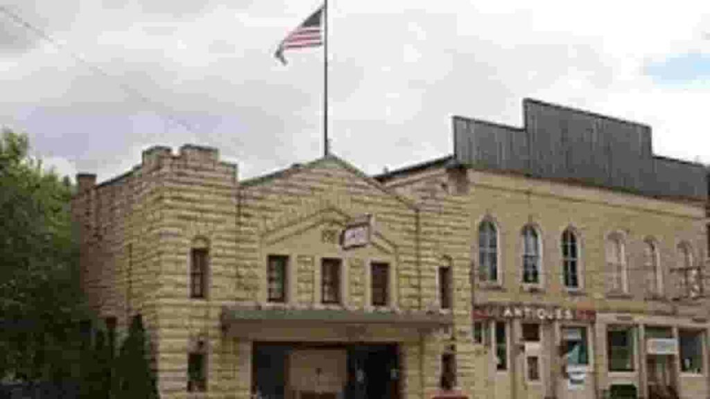
Mantorville
2,410 Parcels

Kasson
2,120 parcels
1,875 Parcels
Dodge County, Minnesota Property Search Tool Methods
Our Dodge County Property Search Tool allows free online access to detailed property records. Search by owner name, parcel number, property address, or city name to instantly see ownership, taxes, sales history, and parcel information.
Search By Owner Name
Look up properties by registered owner in Dodge County, Minnesota.
Search By Address
Find property details using full physical addresses within Dodge County.
Search By Parcel PIN
Locate exact parcels using the unique Dodge County parcel number.
Search By City Name
Search properties by city name if no other information is available.
Dodge County, Minnesota Property Information
The Dodge County Property Search Tool provides complete insights, including ownership, land and improved values, tax info, sales history, and official county assessment data for every parcel.
Parcel Number
Dodge County parcel numbers uniquely identify each property, allowing users to access ownership, tax details, and full property records efficiently within the official property search system.
Owner Name
The owner name section lists the registered property owner in Dodge County. This helps confirm legal ownership and identify who holds rights to a given parcel.
Full Site Address
Full site addresses in Dodge County give the exact location of properties, including street details, enabling accurate identification and navigation to parcels.
Site Address City
Site address city indicates the municipality for each property within Dodge County, helping users understand the property’s regional location and corresponding local jurisdiction.
Mailing Address
The mailing address in Dodge County shows where tax bills, notices, and property documents are sent, sometimes differing from the physical site location.
Site Address Zip
ZIP codes assigned to Dodge County properties show the official postal area for the parcel, improving accuracy in property searches and correspondence.
Land Value
Land value represents the assessed worth of the property’s land alone in Dodge County, excluding any buildings or improvements.
Improved Value
Improved value shows the assessment of structures built on Dodge County land, calculated separately from the land’s base value.
Parcel Vaule
Parcel value combines Dodge County land and improvement values, providing the total assessed value for property tax calculations.
GIS Arces
GIS acres measure the exact size of Dodge County parcels using mapping data, clarifying the land area associated with each property.
Structure Year
Structure year indicates when the main building was built on Dodge County property, useful for estimating age, condition, and historical context.
Last Sale Date
The last sale date shows when a Dodge County parcel was most recently sold or transferred, helping track market activity and ownership history.
Tax Parcel Use Code Description
This section explains how Dodge County classifies properties for tax purposes, including residential, commercial, or agricultural categories.
Full Legal Description
The full legal description provides official wording to define Dodge County property boundaries and location for legal and record-keeping purposes.
County Name
County name confirms that all property records and assessments belong to Dodge County, Minnesota, establishing jurisdiction for tax, zoning, and parcel management.
Dodge County, MN Property Tax & Community Data
Community-level property and tax insights across Dodge County, Minnesota, including estimated parcel counts, population figures, land area, preliminary millage rates, and median property tax bills to understand local real estate patterns.
| City / Community Name | Total Parcels (Est.) | Total Population (2026) | Area (Sq Mi) | Preliminary Millage Rate (2026) | Median Tax Bill (Est.) |
|---|---|---|---|---|---|
| Mantorville (City) | 2,410 | ~1,110 | 1.4 | ~1.08% (Net) | $2,800 - $3,100 |
| Kasson | 2,120 | ~7,364 | 3.0 | ~1.08% (Net) | $2,900 - $3,300 |
| Hayfield | 1,875 | ~1,359 | 1.3 | ~1.08% (Net) | $2,500 - $2,900 |
| Dodge Center | ~1,250 | ~2,984 | 2.1 | ~1.08% (Net) | $2,600 - $3,000 |
| West Concord | ~480 | ~845 | 1.1 | ~1.08% (Net) | $1,800 - $2,200 |
| Claremont | ~320 | ~530 | 1.0 | ~1.08% (Net) | $1,700 - $2,100 |
FAQs
How can I perform a Dodge County property search by owner or name?
You can search property records by entering the owner’s name in the property search tool. This provides access to ownership details, parcel information, and related tax records quickly and efficiently.
Is Dodge County property search available for free?
Yes, many platforms offer free property search tools where users can access basic details such as owner name, parcel data, and property values without any cost.
How does the Dodge County property search map and GIS system work?
The property search map and GIS tools allow users to visually explore parcels, check boundaries, and view property data. These tools help in understanding land distribution and property locations.
How can I perform a Dodge County property tax search?
You can use the property tax search tool to check tax amounts, assessed values, and payment status by entering the owner’s name, parcel ID, or property address.
Are Dodge County property tax searches available for other states like NE or WI?
Yes, property tax searches are also available for Dodge County NE and Dodge County WI, where users can access similar details such as tax records, property values, and ownership information—often with free search options.