Watonwan County, Minnesota Property Appraiser, Search Your Record Details
In Watonwan County, Minnesota, there are approximately 8,274 parcels available. You can search property records using parcel number, owner name, or address. enter the with dash (example: 27001-11-1-124900). to view ownership, tax, and full property details easily.
Minnesota Property Search
Search the public Minnesota parcel API by parcel number, owner name, or property address.
Watonwan County, Minnesota maintains and regularly updates detailed parcel records for public access. The county currently includes 8,274 parcels and 18,099 matched buildings, supported by aerial imagery from 2010, 2012, 2021, and 2023. Address databases were refreshed recently, identifying 7,037 secondary addresses with updates effective 2026-01-01. Additionally, zoning classifications have been standardized for 7,428 parcels as of 2026-01-07, ensuring accurate land use records, property mapping, and taxation data across the county.
Watonwan County, Minnesota Property Overview – 2026
Watonwan County features 4,851 residential properties and 360 commercial properties. The average single-family home is around 73 years old with approximately 972 sq. ft. While 2026 sales data is not available, about 0.02% of homes are seriously underwater. Around 2.94% of homes are equity-rich, and the effective property tax rate stands at 0.89%. The county has recorded 2 foreclosure filings so far.
Residential Properties
4,851
Commercial Properties
Avg. Home Age Single Family
Avg. Square Feet Single Family
Residential Sales 2026
Homes Seriously Underwater
0.2%
Residential Sales past year
Rich Homes percentage
Effective 2026 Property Tax
Total Foreclosure Filings 2025
2
Nearby Counties Around Watonwan County
Explore counties surrounding Watonwan County to access important regional information such as property records, GIS maps, court services, and other local government resources. This section helps users navigate nearby areas efficiently while improving internal linking and providing easy access to tax details, public records, and essential county-level services.
Top Cities in Watonwan County
The leading communities in Watonwan County include St. James, Madelia, and Butterfield, which serve as key residential and commercial centers. These areas reflect the county’s property activity, infrastructure growth, and zoning distribution. With a combination of established neighborhoods and small-town development, they play an important role in property valuation, land management, and overall parcel tracking throughout the county.
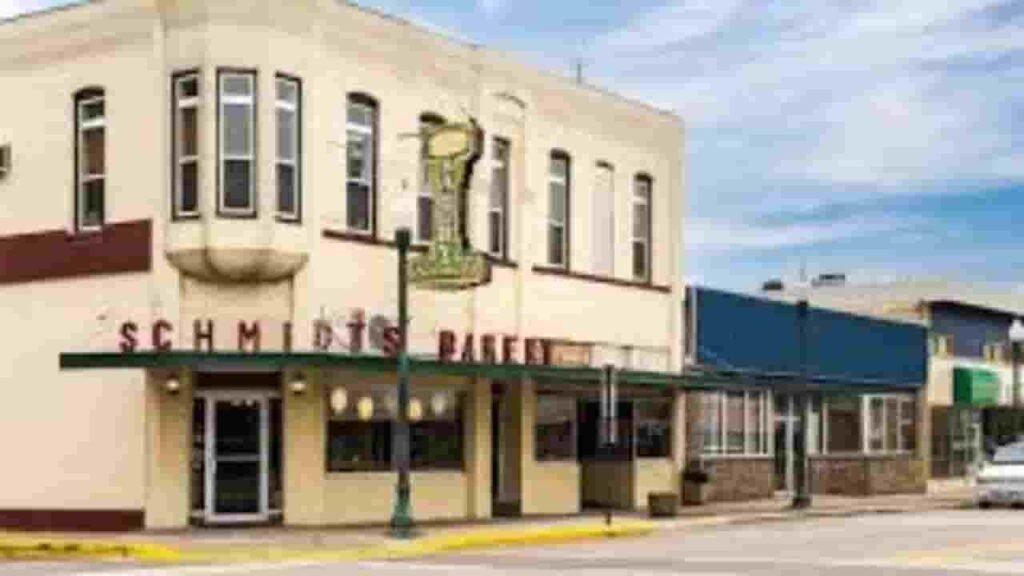
St. James
2,792 Parcels
Madelia
1,366 parcels
581 Parcels
Watonwan County, Minnesota Property Search Tool 4 Best Methods
The Watonwan County, Minnesota Property Search Tool allows users to quickly access public property records online at no cost. You can search using owner name, parcel number (PIN), full property address, or even city name. The tool provides instant access to ownership details, tax records, sales data, and full property information for research and verification purposes.
Search By Owner Name
Use the owner’s name to locate property records within Watonwan County quickly and verify ownership details through official county property data systems online.
Search By Address
Enter the full property address to access detailed records in Watonwan County, including ownership, tax information, parcel data, and location-specific property insights easily.
Search By Parcel PIN
Search using the parcel identification number (PIN) for precise results in Watonwan County, helping users directly access exact property records without confusion or multiple listings.
Search By City Name
If limited details are available, users can search by city name in Watonwan County by entering it in the address field to explore available property listings.
Watonwan County, Minnesota Property Records Details
Unique parcel identification number assigned to each land property recorded within official Watonwan County, Minnesota records.
Parcel Number
Parcel number is a unique identifier assigned to every property in Watonwan County, Minnesota, allowing users to quickly access accurate tax records, ownership details, and parcel information online.
Owner Name
Owner name displays the officially registered property holder in Watonwan County, Minnesota, helping users confirm legal ownership details and identify individuals or entities responsible for the parcel.
Full Site Address
Full site address provides the exact physical location of a property in Watonwan County, Minnesota, including street-level details that help users easily locate and verify the parcel.
Site Address City
Site address city identifies the municipality where the property is situated within Watonwan County, Minnesota, helping users understand the local jurisdiction and geographic placement of the parcel.
Mailing Address
Mailing address shows where official correspondence, tax bills, and notices are sent for properties in Watonwan County, Minnesota, which may differ from the physical site address location.
Site Address Zip
Site address ZIP code specifies the postal region of the property in Watonwan County, Minnesota, improving accuracy when searching records and verifying mailing or geographic location details
Land Value
Land value represents the assessed worth of the land only in Watonwan County, Minnesota, excluding buildings, and helps determine base property valuation for taxation purposes.
Improved Value
Improved value reflects the assessed value of buildings or structures on a property in Watonwan County, Minnesota, calculated separately from land value for complete property assessment.
Parcel Vaule
Parcel value combines both land and improvement values in Watonwan County, Minnesota, offering a total assessed figure used for property tax calculations and overall valuation.
GIS Arces
GIS acres indicate property size using geographic information system data in Watonwan County, Minnesota, helping users understand the exact land area associated with each parcel.
Structure Year
Structure year shows when the primary building was constructed in Watonwan County, Minnesota, allowing users to estimate property age and evaluate structural condition or depreciation factors.
Last Sale Date
Last sale date highlights when the property was most recently sold in Watonwan County, Minnesota, helping users track ownership changes and recent market activity trends.
Tax Parcel Use Code Description
This section explains property classification in Watonwan County, Minnesota, such as residential, commercial, or agricultural, helping users understand how the parcel is categorized for tax purposes.
Full Legal Description
Full legal description provides official documentation of property boundaries in Watonwan County, Minnesota, ensuring accurate identification for legal records, ownership verification, and real estate transactions.
County Name
County name confirms that the property belongs to Watonwan County, Minnesota, helping users verify the governing authority responsible for maintaining tax records and property information
Watonwan County, MN Property Tax & Community Data
Community-level property and tax insights across Watonwan County, Minnesota, including estimated parcel counts, population, land area, preliminary millage rates, and median property tax bills to better understand local real estate distribution.
| City / Community Name | Total Parcels (Est.) | Total Population (2026) | Area (Sq Mi) | Preliminary Millage Rate (2026) | Median Tax Bill (Est.) |
|---|---|---|---|---|---|
| St. James | 2,792 | 4,740 | 2.4 | ~47.8%* | $1,900 – $2,200 |
| Madelia | 1,366 | 2,327 | 1.0 | ~47.8%* | $1,600 – $1,900 |
| Butterfield | 581 | 585 | 0.5 | ~47.8%* | $1,100 – $1,300 |
| Lewisville | ~280 | 230 | 0.3 | ~47.8%* | $900 – $1,150 |
| Odin | ~145 | 100 | 0.4 | ~47.8%* | $850 – $1,050 |
FAQs
How can I access the Watonwan County Jail roster?
You can view the Watonwan County Jail roster online to find inmate details, booking information, and custody status. This helps residents stay updated on current detention records within Watonwan County, Minnesota.
How do I perform a Watonwan County property search?
The Watonwan County property search allows users to access parcel information, ownership records, property values, and tax details. These tools are often available through the county’s online systems and GIS/Beacon platforms.
What services does the Watonwan County Sheriff provide?
The Watonwan County Sheriff is responsible for law enforcement, public safety, jail management, and emergency response. The office also supports community policing and safety updates across the county.
Where can I find Watonwan County GIS, Beacon, and Courthouse information?
The Watonwan County GIS and Beacon system provide interactive maps, parcel data, and land records. The Watonwan County Courthouse handles court proceedings, legal filings, and access to public records.
What is Watonwan County Human Services and how is “Watonwan” pronounced?
Watonwan County Human Services offers support programs such as healthcare assistance, family services, and social programs. The name Watonwan is commonly pronounced as Wah-tahn-wahn, reflecting its Native American origin within Watonwan County, Minnesota.