Brown County MN Property Appraiser Search, For Free
In Brown County, Minnesota, there are 18,627 parcels. You can search property records using parcel number, owner name, or address. Enter Parcel ID with dash (example: 27001-11-1-124900) to view ownership, tax, and full property details.
Minnesota Property Search
Search the public Minnesota parcel API by parcel number, owner name, or property address.
Brown County, Minnesota’s Appraiser office maintains and updates detailed parcel records for public access. The county currently manages 18,627 parcels and 34,885 matched structures, supported by aerial imagery from 2010, 2012, 2021, and 2023. Address records were refreshed in 2026, identifying 14,939 secondary addresses. Zoning classifications have been standardized across 17,924 parcels, ensuring accurate assessment data, ownership records, and reliable tax roll information.
Brown County, Minnesota Property Overview – 2026
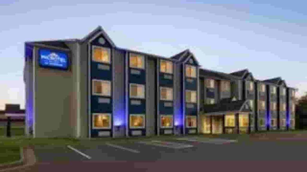
Brown County includes 11,070 residential properties and 966 commercial properties. The average single-family home is 65 years old with 1,559 sq. ft. In 2026, sales data is unavailable, while 0.47% homes are seriously underwater, and the effective tax rate is 0.98%.
Residential Properties
11,070
Commercial Properties
Avg. Home Age Single Family
Avg. Square Feet Single Family
Residential Sales 2026
Homes Seriously Underwater
Residential Sales past year
Rich Homes percentage
Effective 2026 Property Tax
Total Foreclosure Filings 2025
N/A
Nearby Counties
Explore counties surrounding Brown Earth County to compare property insights, tax rates, and real estate trends. Analyzing nearby areas helps identify differences in home values, parcel data, and investment opportunities. Use internal links to navigate across neighboring counties and gain a broader understanding for smarter property research and decision-making.
Top Cities in Minnesota County
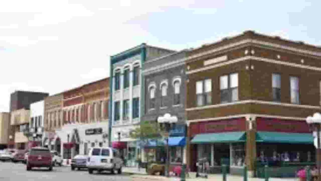
The leading cities in Brown County include New Ulm, Sleepy Eye, and Springfield, serving as key residential and commercial areas. These cities feature a blend of historic communities and modern development, contributing to property records, zoning data, and parcel tracking managed by the County Appraiser’s office.
Essig
9 Parcels
Hanska
567 parcels
7,576 Parcels
Brown County MN Property Search Tool - 4 Best Processes
Our Brown County, Minnesota Property Search Tool allows you to easily explore property records online at no cost. You can locate properties using the owner’s name, parcel identification number (PIN), property address, or even the city name. With a quick search, users can view ownership data, tax records, sales history, and detailed property information instantly.
Search By Owner Name
Use owner name to find property records in Brown County Minnesota quickly.
Search By Address
Search using full property address to view details in Brown County MN.
Search By Parcel PIN
Enter parcel number for precise and accurate property search results.
Search By City Name
Use city name in address field when no other details are available.
Brown County MN Property Search Tool Provide Information
Our Brown County, Minnesota Property Search Tool offers complete property insights with each lookup. Search by parcel number, owner name, or address to access ownership data, tax details, land values, and official county assessment records for reliable real estate research.
Parcel Number
The parcel number is a unique identifier assigned to every property in Brown County Minnesota, helping users locate accurate ownership records, tax details, and parcel information quickly.
Owner Name
The owner name section displays the registered property owner listed in Brown County Minnesota records, allowing users to confirm ownership and identify legal rights associated with each parcel.
Full Site Address
The full site address shows the complete physical location of a property in Brown County Minnesota, including street details that help users easily recognize the parcel’s exact position.
Site Address City
The site address city specifies the municipality where the property exists within Brown County Minnesota, helping users understand its local jurisdiction and regional placement for property identification.
Mailing Address
The mailing address indicates where official notices, tax bills, and property documents are sent in Brown County Minnesota, which may differ from the physical site address location.
Site Address Zip
The site address ZIP code identifies the postal region assigned to the property in Brown County Minnesota, improving search accuracy and helping users verify location-related property information.
Land Value
Land value represents the assessed worth of the land only in Brown County Minnesota, excluding structures, helping users estimate base property value according to county assessment data.
Improved Value
Improved value shows the worth of buildings or developments on land in Brown County Minnesota, calculated separately from land value to reflect total property improvements accurately.
Parcel Vaule
Parcel value is the combined assessed value of land and improvements in Brown County Minnesota, used to determine overall property worth and calculate applicable property taxes.
GIS Arces
GIS acres represent property size calculated using mapping systems in Brown County Minnesota, helping users understand the exact land area associated with each parcel record.
Structure Year
Structure year indicates when the primary building on a property in Brown County Minnesota was originally built, helping users estimate age, condition, and potential maintenance requirements.
Last Sale Date
The last sale date shows when a property in Brown County Minnesota was most recently sold, allowing users to review ownership history and recent real estate activity.
Tax Parcel Use Code Description
This section explains how a property is classified in Brown County Minnesota for tax purposes, such as residential or commercial, helping users understand official parcel categorization.
Full Legal Description
The full legal description provides official wording used to define property boundaries in Brown County Minnesota, ensuring accurate identification for legal documentation and ownership verification processes.
County Name
The county name confirms that the property record belongs to Brown County Minnesota, helping users verify jurisdiction responsible for maintaining tax records and property data information.
Brown County, MN Property Tax & Community Data
City-level property and taxation data across Brown County, Minnesota, including estimated parcel counts, population figures, area size, tax capacity rates, and median property tax ranges to better understand local real estate distribution.
| City / Community Name | Total Parcels (Est.) | Total Population (2020) | Area (Sq Mi) | Tax Capacity Rate (2025) | Median Tax Bill (Est.) |
|---|---|---|---|---|---|
| New Ulm (County Seat) | 7,576 | 14,120 | 10.26 | 114.70% | $2,100 – $2,500 |
| Sleepy Eye | 2,150 | 3,452 | 2.02 | 110.99% | $1,800 – $2,200 |
| Springfield | 1,450 | 2,027 | 1.83 | 100.76% | $1,500 – $1,800 |
| Hanska | 567 | 382 | 0.26 | 92.64% | $1,200 – $1,500 |
| Comfrey | 380 | 378 | 0.43 | 93.44% | $1,000 – $1,300 |
| Evan | 85 | 70 | 0.08 | 92.64% | $800 – $1,100 |
| Cobden | 45 | 36 | 0.99 | 52.92% | $700 – $1,000 |
| Essig | 9 | ~76 | N/A | 39.56% (Sigel Twp) | $900 – $1,200 |
FAQs
How can I use the Brown County Minnesota property search map?
The property search map helps users visually explore parcels, check property boundaries, and access ownership and tax details across Brown County through an interactive interface.
Can I perform a Brown County property search by owner name?
Yes, you can search property records using the owner’s name to find ownership details, parcel information, and related tax records
Is Brown County property search available for free?
Yes, many tools provide free access to basic property data, including owner details, parcel numbers, and assessed values in Brown County.
How do I search Brown County property records by address?
You can enter a property address into the search tool to access detailed information such as ownership records, parcel data, and tax information with that location.
What does Brown County property tax lookup and GIS provide?
The property tax lookup shows tax amounts, payment status, and assessed values, while the GIS system provides interactive maps for viewing parcel boundaries and property details.