Blue Earth County, Minnesota Appraiser Search, Find Records Free
In Blue Earth County, Minnesota, there are 33,527 parcels you can search using parcel number, owner name, or property address. For Parcel ID searches, with spaces also dash (example: 27001-11-1-124900). Access property, tax, and owner information instantly.
Minnesota Property Search
Search the public Minnesota parcel API by parcel number, owner name, or property address.
The Blue Earth County Property Appraiser’s office maintains and updates detailed parcel information for public use. Currently, 33,527 parcels and 54,787 matched buildings are tracked using aerial imagery and property data. Recently, 38,794 secondary addresses were updated, and zoning information was standardized for 32,461 parcels to ensure accurate assessments, records, and tax calculations.
Blue Earth County, Minnesota Property Overview – 2026
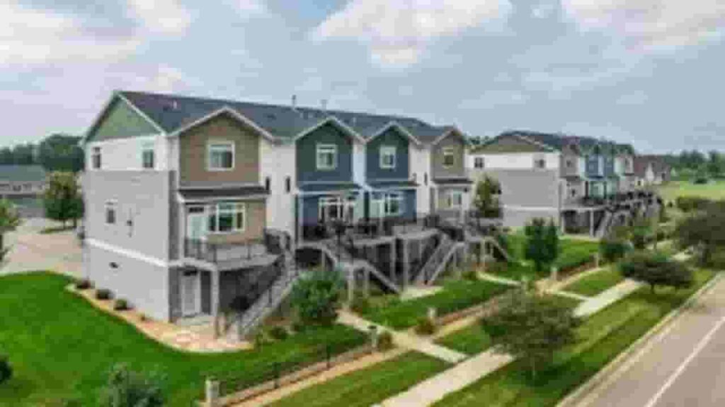
Blue Earth County contains 20,560 residential and 2,193 commercial properties. Single-family homes average 53 years in age and 1,553 sq. ft. In 2026, 49 residential sales occurred, while 1.08% of homes are seriously underwater. The effective property tax is 0.96%.
Residential Properties
20,560
Commercial Properties
Avg. Home Age Single Family
Avg. Square Feet Single Family
Residential Sales 2026
Homes Seriously Underwater
Residential Sales past year
Rich Homes percentage
Effective 2026 Property Tax
Total Foreclosure Filings 2025
8
Nearby Counties
Explore counties surrounding Blue Earth County to compare property data, tax rates, and real estate trends. Reviewing nearby areas helps identify differences in home values, parcel records, and investment opportunities. Use internal links to easily navigate neighboring counties and gain a broader understanding for smarter property research and decision-making.
Top Cities in Blue Earth County
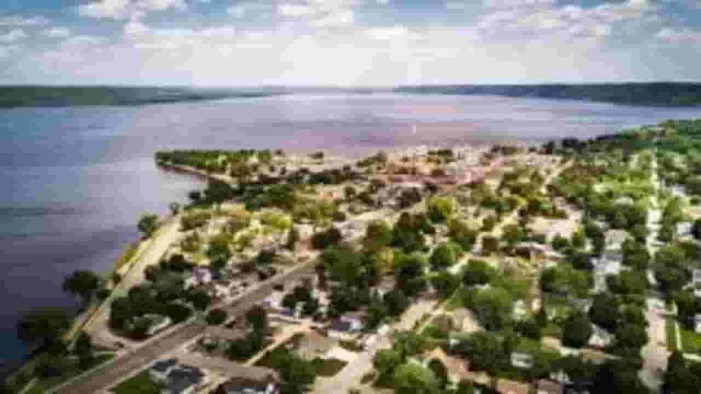
The leading cities in Blue Earth County include Madison with 1,612 parcels, Eagle Lake with 1,121 parcels, and Garden Lake with 218 parcels. These cities serve as major residential and commercial centers, contributing significantly to property assessment, zoning oversight, and parcel tracking.

Madison Lake
1,612 Parcels
Eagle Lake
1,121 parcels
218 Parcels
Blue Earth County, Minnesota Property Search Tool
The Blue Earth County Property Search Tool allows residents to find property details online at no cost. Search by owner name, parcel number (PIN), address, or city to view ownership information, tax history, sales records, and full property data quickly and easily.
Search By Owner Name
Use the owner name to locate property records across Blue Earth County, Minnesota efficiently and view associated tax and ownership information.
Search By Address
You can search property details by entering the full address in Blue Earth County, providing quick access to complete records.
Search By Parcel PIN
Enter the parcel number (PIN) for precise property searches in Blue Earth County, ensuring accurate retrieval of ownership and tax details.
Search By City Name
If other details are unavailable, use the city name in Blue Earth County to access all properties within that municipality quickly.
Blue Earth County, Minnesota Property Information
Our search tool gives comprehensive property data for Blue Earth County. Access owner names, parcel numbers, addresses, land and building values, tax information, and official county assessments for accurate property research.
Parcel Number
The parcel number is a unique identifier for each property in Blue Earth County, Minnesota. It allows fast access to ownership, tax, and property records in the county database.
Owner Name
The owner name field lists the registered property owner in Blue Earth County. This helps verify legal ownership and current property rights.
Full Site Address
The full site address shows the exact location of a property in Blue Earth County, including street and number, allowing users to pinpoint the property physically.
Site Address City
The site address city indicates the municipality for the property in Blue Earth County, helping users understand its regional placement within the county.
Mailing Address
The mailing address shows where property-related notices, tax bills, or official documents are sent. It may differ from the physical property address in Blue Earth County.
Site Address Zip
The ZIP code identifies the postal area of the property in Blue Earth County, improving accuracy for searching and verifying records.
Land Value
Land value represents the assessed worth of the property’s land in Blue Earth County, excluding any structures or improvements.
Improved Value
Improved value reflects the value of any buildings or other structures on the property in Blue Earth County, separate from the raw land value.
Parcel Vaule
Parcel value combines land and improvement values for properties in Blue Earth County, providing the total assessment for tax purposes.
GIS Arces
GIS acres indicate the property size calculated using mapping data for Blue Earth County, offering precise measurements of each parcel.
Structure Year
Structure year refers to when the main building on the property in Blue Earth County was constructed, helping estimate property age and condition.
Last Sale Date
The last sale date shows when the property in Blue Earth County was most recently transferred or sold, offering insight into ownership history.
Tax Parcel Use Code Description
This section explains the property classification in Blue Earth County for tax purposes, such as residential, commercial, or agricultural use.
Full Legal Description
The full legal description contains official wording used to document property boundaries in Blue Earth County, ensuring accurate ownership and records.
County Name
The county name confirms that the property is located in Blue Earth County, Minnesota, establishing the jurisdiction for tax and assessment records.
Blue Earth County, MN Property Tax & City Overview
Detailed city-level property insights for Blue Earth County, Minnesota, including estimated parcel counts, population figures, land area, 2025 tax capacity rates, and median property tax ranges to better understand local taxation patterns and property distribution.
| City / Community Name | Total Parcels (Est.) | Total Population | Area (Sq Mi) | Tax Capacity Rate (2025) | Median Tax Bill (Est.) |
|---|---|---|---|---|---|
| Mankato (County Seat) | 16,500 | 44,882 | 18.2 | 47.85% | $2,700 – $3,100 |
| Madison Lake | 1,612 | 1,180 | 1.0 | 41.20% | $2,200 – $2,600 |
| Eagle Lake | 1,121 | 3,268 | 1.6 | 45.15% | $2,400 – $2,800 |
| Lake Crystal | 1,350 | 2,530 | 1.7 | 52.30% | $1,900 – $2,300 |
| Mapleton | 820 | 1,735 | 1.5 | 58.90% | $1,800 – $2,100 |
| St. Clair | 410 | 850 | 0.7 | 43.60% | $1,600 – $1,900 |
| Garden City | 218 | ~250 (Uninc.) | N/A | 36.45% (Township) | $1,500 – $1,800 |
| Amboy | 340 | 510 | 0.3 | 61.25% | $1,100 – $1,400 |
FAQs
How can I use the Blue Earth County Minnesota property search map?
The property search map allows users to visually locate parcels, view property boundaries, and access ownership and tax information across Blue Earth County, making it easy to research properties interactively.
Is Blue Earth County property search available for free?
Yes, many online tools, including the Beacon property search, provide free access to basic property details such as ownership, parcel information, and property values in Blue Earth County.
How do I search Blue Earth County property records by name?
You can perform a property search by entering the owner’s name to find detailed ownership information, parcel data, and property tax records associated with that person.
How can I search Blue Earth County properties by address?
Using the property search by address feature, users can access ownership details, parcel numbers, and tax information linked to a specific property location in Blue Earth County.
What is the Blue Earth County property tax lookup and how does it work?
The property tax lookup provides tax amounts, payment status, and assessed values. You can search by owner name, parcel ID, or address using tools like the Blue Earth County Beacon property search.