Nicollet County, Minnesota Property Appraiser – Search Your Property Records
In Nicollet County, Minnesota, there are 18,116 parcels. You can easily search property details using parcel number, owner name, or property address. Enter Parcel ID with dash (example: 27001-11-1-124900) to access full property, tax, and ownership information.
Minnesota Property Search
Search the public Minnesota parcel API by parcel number, owner name, or property address.
The Nicollet County Appraiser’s office maintains and updates detailed parcel information for public access. The county tracks 18,116 parcels with 30,017 matched buildings using aerial imagery and property data. Address updates identified 16,491 secondary addresses. Zoning data has been standardized for 17,554 parcels, ensuring precise property assessments, tax roll accuracy, and organized parcel records.
Nicollet County, Minnesota Property Overview – 2026
Nicollet County has 11,003 residential properties and 870 commercial properties. The average single-family home is 51 years old with 1,594 sq. ft. In 2026, there have been 45 residential sales so far. Only 0.72% of homes are seriously underwater, and the effective property tax rate is 0.9%.
Residential Properties
11,003
Commercial Properties
Avg. Home Age Single Family
Avg. Square Feet Single Family
Residential Sales 2026
Homes Seriously Underwater
Residential Sales past year
Rich Homes percentage
Effective 2026 Property Tax
Total Foreclosure Filings 2025
2
Nearby County Highlights Around Nicollet County
Explore surrounding counties near Nicollet County to discover regional property insights, public services, and community data. This section supports smooth internal linking, helping users compare nearby areas, analyze demographics, and access valuable county-level resources across southern Minnesota for better research, planning, and informed decision-making.
Main Cities in Nicollet County
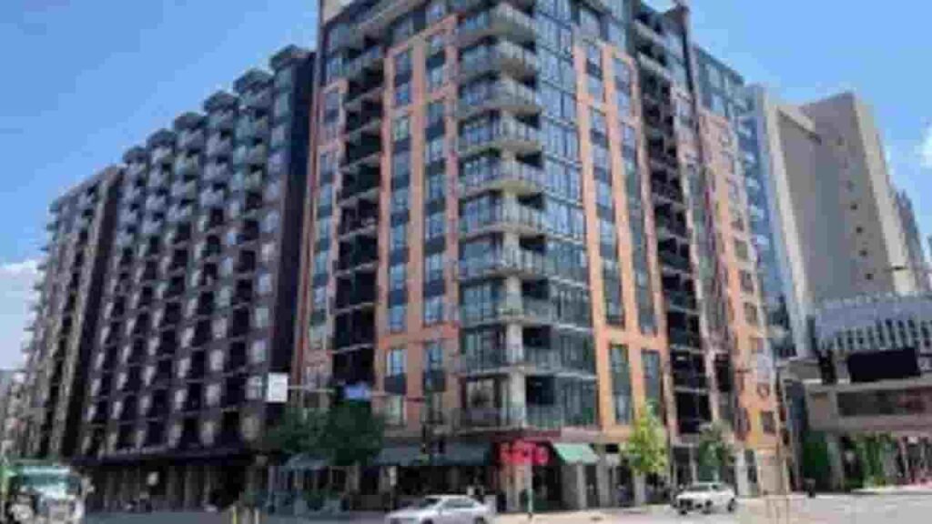
The major cities and communities in Nicollet County include Mankato, St. Peter, and Courtland. These areas are hubs of residential and commercial activity, with significant contributions to property assessments, zoning, and parcel management.
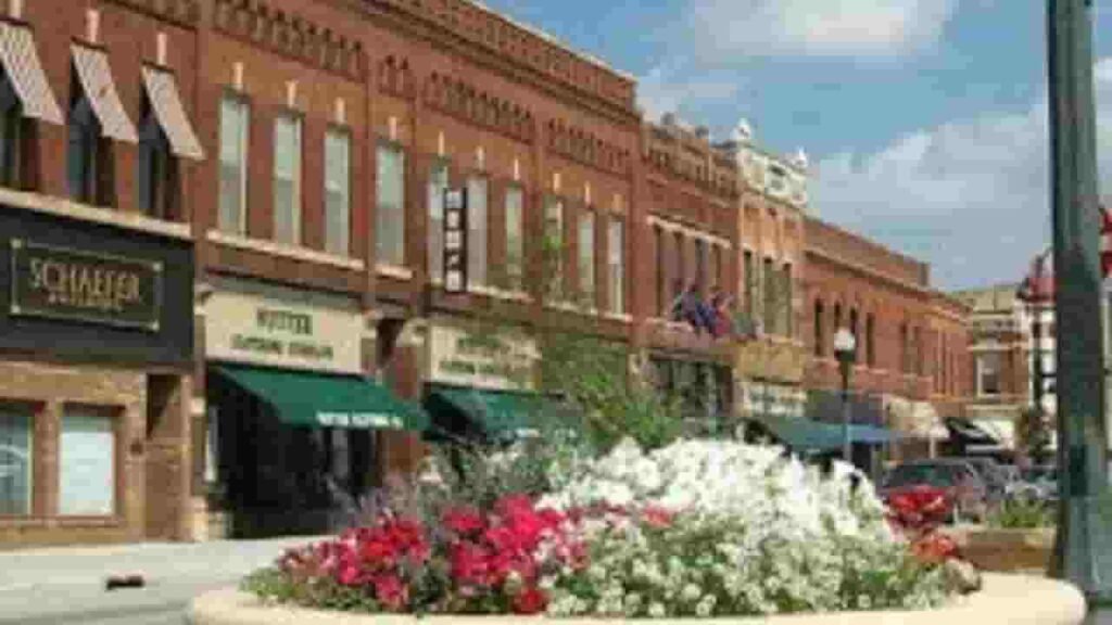
Saint Peter
4,133 Parcels
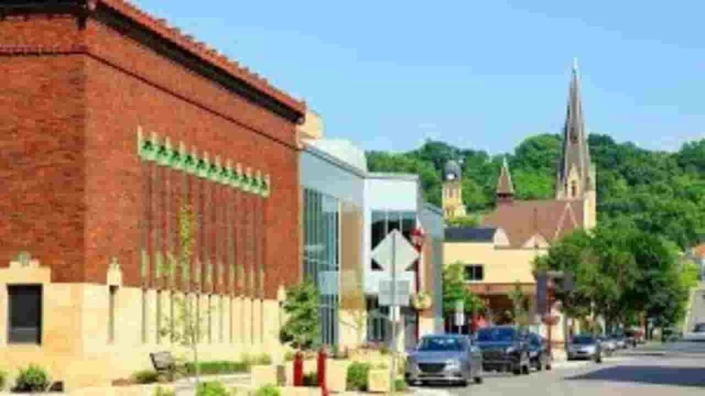
Mankato
20,583 parcels
565 Parcels
Nicollet County, Minnesota Property Search Tool – 4 Key Methods
Our Nicollet County Property Search Tool allows residents to access property information online for free. Search by owner name, parcel number (PIN), property address, or city name to quickly view ownership details, tax records, sales history, and full property information.
Search By Owner Name
Find property records using the registered owner’s name in Nicollet County.
Search By Address
Use the property’s street address to locate detailed parcel and tax information.
Search By Parcel PIN
Input the parcel number to get precise property data in Nicollet County.
Search By City Name
If other details are unknown, search using the city name for broader results.
Nicollet County, MN Property Search Tool Provide Latest Records
Different parcel PIN assigned to each land property recorded within official Nicollet County, Minnesota records.
Parcel Number
The parcel number in Nicollet County is a unique identification code assigned to each property. It allows users to quickly access accurate ownership, tax, and property assessment details online.
Owner Name
The owner name field lists the legal property owner in Nicollet County records. This information is essential for verifying ownership, legal responsibility, and understanding property rights for each parcel.
Full Site Address
The full site address provides the complete location of a property in Nicollet County. It includes street name, number, and other details to locate the property accurately.
Site Address City
The site address city indicates the city or town within Nicollet County where the property is situated. This helps users identify the municipal jurisdiction of the property.
Mailing Address
The mailing address displays where official tax documents, legal notices, and county communications are sent. In Nicollet County, this may differ from the property's physical location.
Site Address Zip
The site address ZIP code shows the postal area assigned to the property in Nicollet County. It ensures accurate mailing, record verification, and property-related correspondence delivery.
Land Value
Land value represents the assessed worth of the land alone in Nicollet County, excluding buildings or improvements. It helps estimate the base property value for taxation purposes.
Improved Value
Improved value measures the worth of structures built on the land, such as homes or commercial buildings. Nicollet County assesses this separately from raw land value for taxation.
Parcel Vaule
Parcel value combines land and improvement values to determine the total assessed property value in Nicollet County. This is used for property tax calculations and official assessments.
GIS Arces
GIS acres indicate the size of a property in Nicollet County based on geographic information system mapping. This helps users understand the exact land area for each parcel.
Structure Year
Structure year shows when the primary building on a Nicollet County property was originally constructed. This helps estimate property age, condition, and potential maintenance needs.
Last Sale Date
Last sale date records when a Nicollet County property was most recently sold or transferred. This helps track ownership history and recent market activity.
Tax Parcel Use Code Description
This section defines the official classification of a property in Nicollet County, such as residential, commercial, agricultural, or other use, which is important for taxation purposes.
Full Legal Description
The full legal description provides the official wording for property boundaries in Nicollet County. It ensures accurate documentation for ownership, transfers, and any legal proceedings involving the property.
County Name
The county name confirms the property record is maintained by Nicollet County, Minnesota. This ensures users reference the correct jurisdiction for assessments, taxation, and public property records.
Nicollet County, MN Property Tax & Community Data
Community-level property and tax data across Nicollet County, Minnesota, including estimated parcels, population, land area, preliminary millage rates, and median property tax bills to provide insight into local taxation and real estate distribution.
| City / Community Name | Total Parcels (Est.) | Total Population (2026) | Area (Sq Mi) | Preliminary Millage Rate (2026) | Median Tax Bill (Est.) |
|---|---|---|---|---|---|
| Mankato | 20,583 | 46,379 | 18.2 | 41.50% | $4,200 |
| North Mankato | ~5,200 | 14,350 | 5.9 | 51.30% | $3,850 |
| Saint Peter | 4,133 | 12,580 | 5.8 | 52.79% | $3,450 |
| Nicollet | ~650 | 1,185 | 0.9 | 64.15% | $2,100 |
| Courtland | 565 | 785 | 0.6 | 58.40% | $2,380 |
| Lafayette | ~350 | 480 | 0.8 | 82.10% | $1,650 |
FAQs
How can I access Nicollet County MN GIS maps and property data?
Nicollet County MN GIS tools provide interactive maps, parcel boundaries, and geographic data, helping users explore land information, zoning, and property locations efficiently.
Is there a free property search option in Nicollet County?
Yes, the county provides free access to basic property information through its online search tools, though some detailed data may require additional access.
How do I perform a Nicollet County, MN property search and tax lookup?
You can use Nicollet County property search tools to access ownership records, parcel details, and property tax information, including assessments and payment history.
What services are available at the Nicollet County Courthouse?
The Nicollet County Courthouse handles legal proceedings, court records, filings, and administrative services, providing essential resources for residents and legal professionals.
Where can I view the Nicollet County map and learn about the area?
The Nicollet County map is available through GIS platforms and public resources, offering insights into boundaries, cities, and infrastructure within Nicollet County, MN.