Mower County MN Property Appraiser Search Record Freely
Mower County, Minnesota has 23,004 parcels. Residents can access property records using the parcel number, owner name, or address. Parcel IDs should include with dash (example: 27001-11-1-124900). View property, tax, and ownership details instantly.
Minnesota Property Search
Search the public Minnesota parcel API by parcel number, owner name, or property address.
The Property Appraiser’s office in Mower County, Minnesota maintains up-to-date parcel records for public access. The county tracks 23,004 parcels and 45,794 matched buildings using aerial imagery from 2021 and 2023. Recent updates show 22,396 secondary addresses. Standardized zoning data covers 21,015 parcels, supporting accurate property assessments, tax roll consistency, and comprehensive parcel management across the county.
Mower County, Minnesota Property Overview – 2026
Mower County contains 16,368 residential and 1,301 commercial properties. The average single-family home is 70 years old with 1,436 sq. ft. In 2026, there were 96 residential sales. About 1.3% of homes are seriously underwater, and the effective property tax rate is 0.87%.
Residential Properties
16,368
Commercial Properties
Avg. Home Age Single Family
Avg. Square Feet Single Family
Residential Sales 2026
Homes Seriously Underwater
Residential Sales past year
Rich Homes percentage
Effective 2026 Property Tax
Total Foreclosure Filings 2025
2
Check Out Neighboring Areas Around Mower County, Minnesota
Explore counties surrounding Mower County to gain deeper insights into regional property data, trends, and local opportunities. These nearby areas provide useful comparisons and extended information. Adding internal links to these counties helps improve navigation and allows users to discover related content across closely connected locations.
Main Cities in Mower County
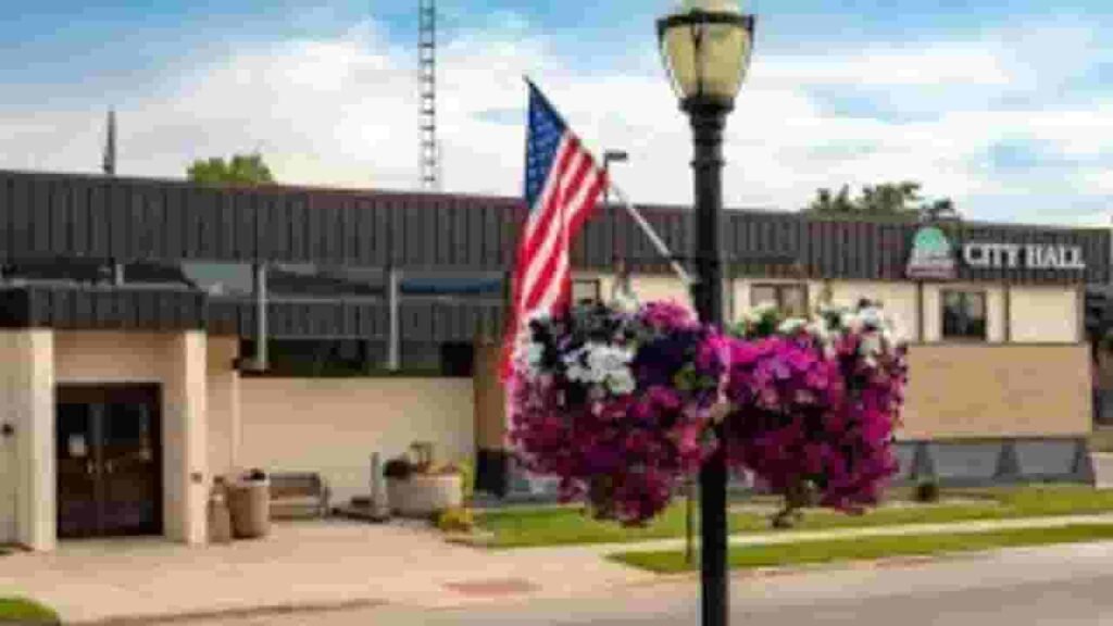
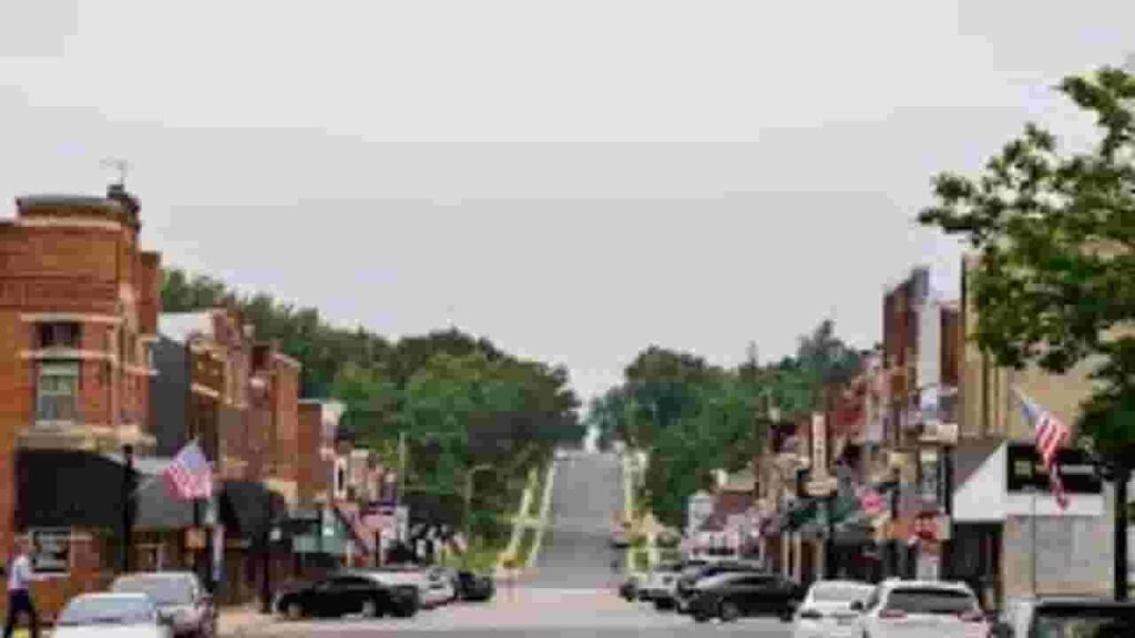
Key communities in Mower County, Minnesota include Austin, Grand Meadow, and Racine, which serve as primary residential and commercial hubs. These areas feature a mix of historic neighborhoods, developing areas, and vibrant communities contributing significantly to property assessments and zoning management by the county office.
Austin
12,280 Parcels
Grand Meadow
919 parcels
419 Parcels
Mower County MN Property Search Tool Has 4 Best Method
The Mower County, Minnesota Property Search Tool allows users to access records online for free. You can search by owner name, parcel number (PIN), property address, or city name. Instantly view property ownership, tax information, sales history, and detailed property records.
Search By Owner Name
Use the registered owner name to access property records in Mower County Minnesota for accurate ownership and tax information.
Search By Address
Enter the property address to view details of parcels in Mower County Minnesota, including ownership, tax, and improvement data.
Search By Parcel PIN
Parcel numbers allow precise property searches in Mower County Minnesota, helping users locate records and property tax details quickly.
Search By City Name
When other details are unavailable, search Mower County Minnesota properties by city name to access parcel and ownership information.
Mower County MN Property Search Tool Provide Information
The Mower County, Minnesota Property Search Tool delivers complete property insights. Search by owner name, parcel number, or address to access ownership, land and improvement values, tax records, and official county assessment data.
Parcel Number
Each parcel in Mower County Minnesota has a unique number. This identifier helps users quickly locate property records, ownership information, and tax data within the county search system.
Owner Name
The owner name shows the legally registered property owner in Mower County Minnesota. This helps users confirm ownership and understand current legal rights to a parcel.
Full Site Address
The full site address displays the complete location of the property in Mower County Minnesota, including street information, to clearly identify the parcel.
Site Address City
The site address city shows the municipality of the property in Mower County Minnesota, helping users understand local jurisdiction and regional placement.
Mailing Address
The mailing address shows where official property notices, tax bills, and documents are sent in Mower County Minnesota, which may differ from the physical property address.
Site Address Zip
ZIP codes indicate the postal region of the property in Mower County Minnesota, improving accuracy when searching or sending property-related correspondence.
Land Value
Land value reflects the assessed worth of raw land in Mower County Minnesota, excluding structures, providing a baseline for property taxation.
Improved Value
Improved value measures the worth of structures and improvements built on land in Mower County Minnesota, separate from raw land value.
Parcel Vaule
Parcel value represents the total assessed value in Mower County Minnesota, combining land and improvements, used for taxation purposes.
GIS Arces
GIS acres provide the exact land area of a property in Mower County Minnesota using geographic mapping data, ensuring accurate understanding of parcel size.
Structure Year
Structure year records when the main building was constructed in Mower County Minnesota, helping users estimate building age and condition.
Last Sale Date
The last sale date in Mower County Minnesota records the most recent property transfer, providing ownership history and market activity insights.
Tax Parcel Use Code Description
This section explains how properties are classified for tax purposes in Mower County Minnesota, including residential, commercial, or agricultural use.
Full Legal Description
The full legal description provides formal wording identifying property boundaries in Mower County Minnesota, ensuring accurate legal documentation for ownership and transactions.
County Name
The county name confirms that the property belongs to Mower County Minnesota, verifying jurisdiction for tax, parcel records, and official assessments.
Mower County, MN Property Tax & Community Data
Community-level property and tax data across Mower County, Minnesota, including estimated parcels, population, land area, preliminary millage rates, and median property tax bills to provide insight into local taxation and real estate distribution.
| City / Community Name | Total Parcels (Est.) | Total Population (2026) | Area (Sq Mi) | Preliminary Millage Rate (2026) | Median Tax Bill (Est.) |
|---|---|---|---|---|---|
| Austin (County Seat) | 12,280 | 26,450 | 11.90 | 62.40% | $2,180 |
| Grand Meadow | 919 | 1,185 | 0.64 | 84.15% | $1,950 |
| LeRoy | ~650 | 945 | 0.81 | 92.30% | $1,620 |
| Adams | ~520 | 815 | 1.00 | 78.45% | $1,740 |
| Racine | 419 | 442 | 2.45 | 45.20% | $2,250 |
| Brownsdale | ~480 | 695 | 0.45 | 88.60% | $1,580 |
| Lyle | ~350 | 540 | 0.75 | 102.15% | $1,420 |
FAQs
How can I search for property by owner in Mower County?
You can find property records by entering the owner’s name in the county’s official property search system or online database.
Is there a free way to access property records in Mower County?
Yes, basic property information is often available for free through the county’s public search tools, though some detailed records may require a fee.
Can I look up property details using an address?
Yes, the county provides an address-based search option that allows users to view ownership, valuation, and tax-related information.
How do I pay property taxes in Mower County?
Property taxes can be paid online, by mail, or in person through the county’s official tax payment system.
What is RecordEASE in Mower County?
RecordEASE is an online service that provides access to official property records, documents, and land-related information for public use.