Olmsted County MN Property Appraiser Search, Your Records
In Olmsted County, Minnesota, there are 66,459 parcels. You can search property records using parcel number, owner name, or property address. For Parcel ID searches, enter values for accurate results with dash (example: 27001-11-1-124900). Access ownership, tax, and property details instantly
Minnesota Property Search
Search the public Minnesota parcel API by parcel number, owner name, or property address.
Olmsted County, Minnesota, the Property Appraiser’s office maintains and updates detailed parcel datasets for public access. The county currently records 66,459 parcels and 104,899 matched structures, supported by aerial imagery collected in 2021 and 2023. Address records were recently refreshed, identifying 84,427 secondary addresses. Additionally, zoning classifications have been standardized for 66,375 parcels, ensuring consistent property assessments, reliable parcel tracking, and accurate tax roll data across the county.
Olmsted County, Minnesota Property Overview – 2026
Olmsted County has 54,528 residential properties and 2,819 commercial properties. The average single-family home is 44 years old with 1,585 sq. ft. In 2026, there were 271 residential sales, while 0.85% of homes are seriously underwater, and the effective property tax is 1.03%.
Residential Properties
54,528
Commercial Properties
Avg. Home Age Single Family
Avg. Square Feet Single Family
Residential Sales 2026
Homes Seriously Underwater
Residential Sales past year
Rich Homes percentage
Effective 2026 Property Tax
Total Foreclosure Filings 2025
13
Explore Surrounding Counties of Olmsted County, Minnesota
Discover counties neighboring Olmsted County to access regional property insights, local trends, and community information. These surrounding areas provide valuable comparisons for research and analysis. Adding internal links to nearby counties improves navigation, helping users easily explore related property data and regional resources across connected locations.
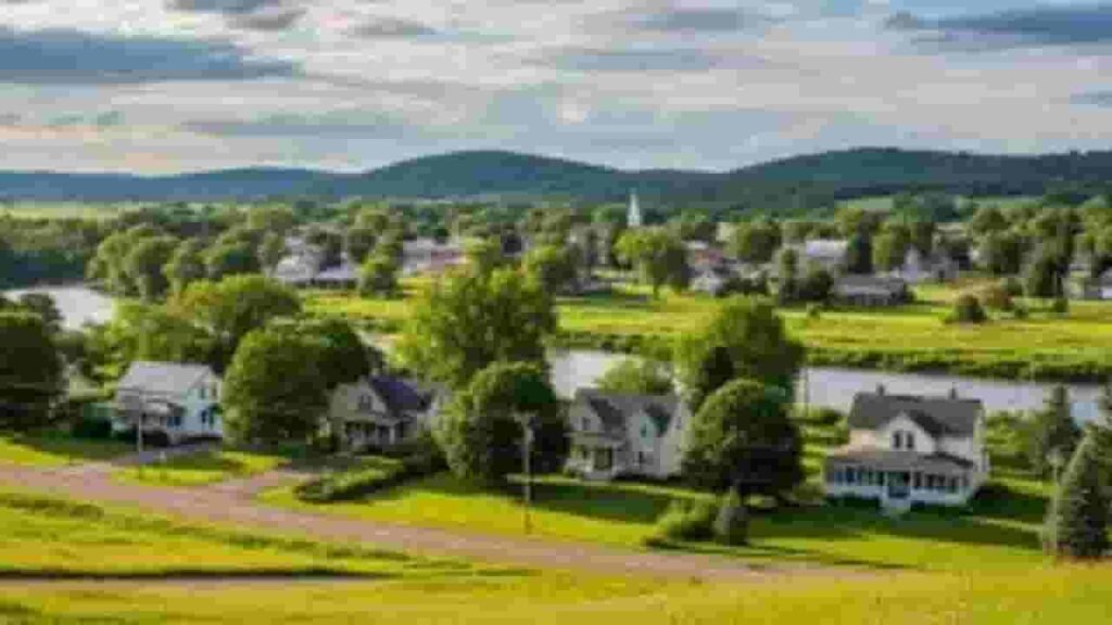
Main Cities in Olmsted County
The leading cities in Olmsted County include Oronoco with the highest parcel count, followed by Byron and Pine Island. These areas serve as key residential and commercial centers within the county. Featuring a blend of established neighborhoods and modern growth, these cities play an important role in property valuation, zoning systems, and overall parcel data maintained by the county office.
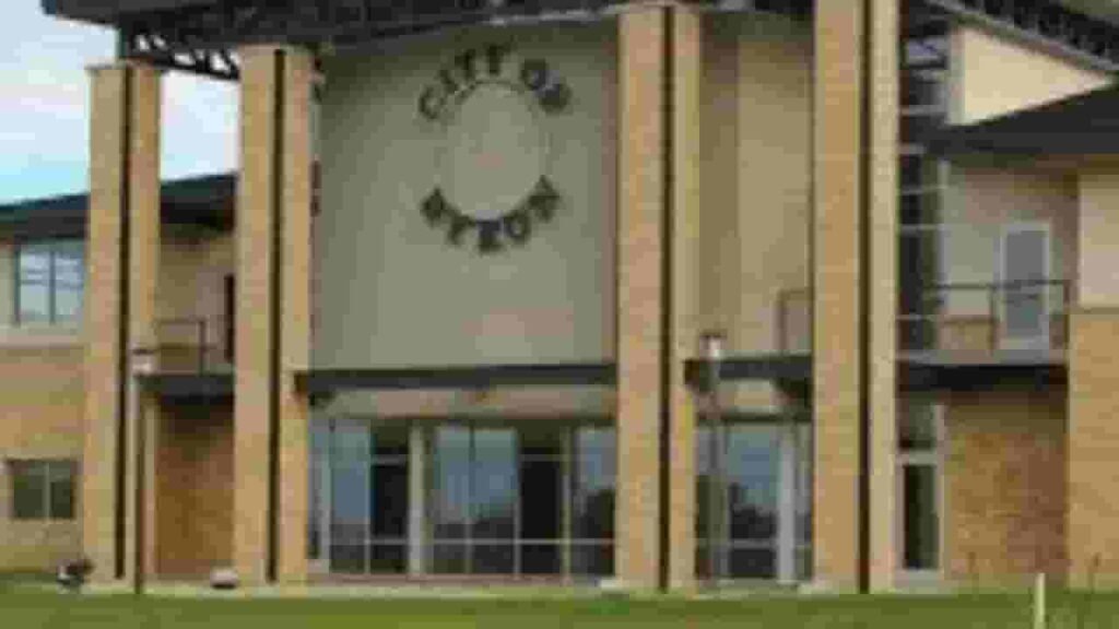
Byron
3,061 Parcels
Oronoco
15,22 parcels
2,186 Parcels
Olmsted County MN Property Search Tool Has 4 Best Method
Our Olmsted County, Minnesota Property Search Tool allows users to quickly access property records online at no cost. You can search using owner name, parcel number (PIN), property address, or even city name. View ownership details, tax records, sales history, and complete property data within seconds.
Search By Owner Name
You can search property records in Olmsted County, Minnesota using the registered owner name.
Search By Address
Users can easily find property details in Olmsted County, Minnesota using a full or partial address.
Search By Parcel PIN
Parcel number search provides the most precise results for locating records in Olmsted County, Minnesota.
Search By City Name
If other details are unavailable, use a city name in Olmsted County, Minnesota to explore property listings.
Olmsted County MN Property Search Tool Provide Data
Our Olmsted County, Minnesota Property Search Tool offers complete property insights for every query. Search using owner name, parcel ID, or address to view ownership details, tax data, land values, and official county assessment records for accurate real estate analysis.
Parcel Number
The parcel number is a unique identifier assigned to each property in Olmsted County, Minnesota, helping users quickly locate accurate ownership, tax, and parcel records.
Owner Name
The owner name section in Olmsted County, Minnesota records identifies the legal property holder, allowing users to verify ownership details and confirm current rights associated.
Full Site Address
The full site address in Olmsted County, Minnesota shows the complete property location, including street details, helping users easily identify and verify parcel positioning accurately.
Site Address City
The site address city indicates the municipality within Olmsted County, Minnesota where the property exists, helping users understand local jurisdiction and geographic placement clearly.
Mailing Address
The mailing address in Olmsted County, Minnesota shows where official documents, tax bills, and notices are delivered, which may differ from the physical property location.
Site Address Zip
The ZIP code in Olmsted County, Minnesota identifies the postal region assigned to a property, improving accuracy when searching, verifying, or organizing property-related records.
Land Value
Land value in Olmsted County, Minnesota reflects the assessed worth of the land only, excluding buildings, and helps determine the base valuation for taxation purposes.
Improved Value
Improved value in Olmsted County, Minnesota represents the assessed worth of buildings or structures on the land, calculated separately from the raw land valuation amount.
Parcel Vaule
Parcel value in Olmsted County, Minnesota combines land and improvement values, providing a total assessed worth used for calculating property taxes and financial evaluation.
GIS Arces
GIS acres in Olmsted County, Minnesota show the land size measured through mapping systems, helping users understand accurate parcel dimensions and geographic boundaries clearly.
Structure Year
Structure year in Olmsted County, Minnesota indicates when the main building was constructed, helping users estimate property age, condition, and potential maintenance requirements.
Last Sale Date
The last sale date in Olmsted County, Minnesota shows the most recent property transaction, allowing users to review ownership history and analyze market activity trends.
Tax Parcel Use Code Description
This describes how property in Olmsted County, Minnesota is classified for tax purposes, such as residential or commercial, helping users understand its official category.
Full Legal Description
The full legal description in Olmsted County, Minnesota provides official wording defining property boundaries and location, ensuring accurate legal identification in ownership and transaction records.
County Name
The county name confirms the property belongs to Olmsted County, Minnesota, helping users verify jurisdiction responsible for maintaining property records, taxation, and assessment data.
Olmsted County, MN Property Tax & Community Data
Community-level property and tax insights across Olmsted County, Minnesota, including estimated parcel counts, population figures, land area, preliminary millage rates, and median tax bills for understanding local taxation trends and property distribution.
| City / Community Name | Total Parcels (Est.) | Total Population (2026) | Area (Sq Mi) | Preliminary Millage Rate (2026) | Median Tax Bill (Est.) |
|---|---|---|---|---|---|
| Rochester | 65,000+ | 125,000 | 54.0 | 108.94% | $1,321 |
| Byron | 3,061 | 6,600 | 2.9 | ~112.50% | $1,410 |
| Stewartville | 2,700 | 6,300 | 3.0 | 122.50% | $1,280 |
| Pine Island | 2,186 | 3,500 | 5.8 | ~115.00% | $1,150 |
| Oronoco | 1,522 | 1,600 | 2.8 | ~110.00% | $1,220 |
| Eyota | 1,550 | 2,100 | 1.7 | ~118.00% | $1,090 |
| Chatfield | 1,070 | 900 | 2.6 | ~120.00% | $1,050 |
| Dover | 548 | 800 | 1.0 | ~116.00% | $980 |
FAQs
How can I search Olmsted County properties by owner name?
You can search property records by owner name through the county’s official online tools to view ownership, valuation, and related property information.
Is there a free way to search properties by name in Olmsted County?
Yes, basic property search by owner name is available for free using the county’s public search system.
How do I access property tax information in Olmsted County?
Property tax details can be found online via Olmsted County’s property tax search portal, providing current and historical tax records.
What is the Olmsted County GIS used for?
The GIS system provides interactive maps, parcel boundaries, land information, and spatial data for easy property analysis and research.
How can I contact Olmsted County for property records or maps?
You can reach the county’s property records office by phone or online to request maps, documents, and additional property information.