Steele County, Minnesota Property Appraiser – Record Search Overview
In Steele County, Minnesota, there are approximately 20,196 parcels available for public search. Users can access property records by parcel number, enter the with dash (example: 27001-11-1-124900) owner name, or address, including tax and ownership details, with Parcel IDs entered with spaces.
Minnesota Property Search
Search the public Minnesota parcel API by parcel number, owner name, or property address.
The Steele County, Minnesota Appraiser’s office maintains detailed parcel information for all public users. The county currently tracks 20,196 parcels and 37,293 matched buildings, using aerial imagery from 2021 and 2023. Secondary addresses total 19,633, and 19,741 parcels have standardized zoning codes for precise assessments and tax calculations.
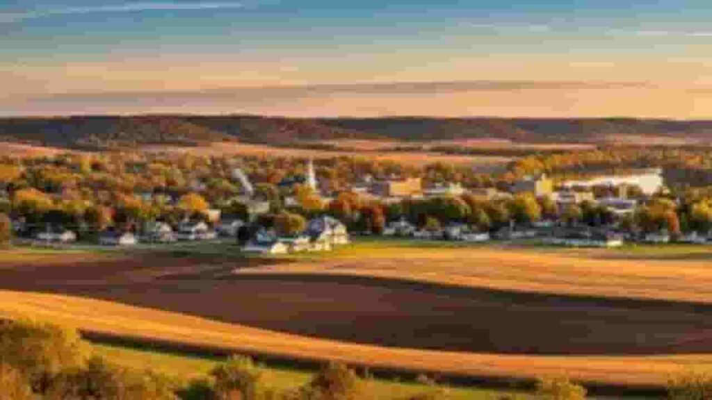
Steele County, Minnesota Property Overview – 2026
Steele County, Minnesota consists of 15,458 residential properties and 822 commercial properties. The average single-family home is 54 years old and spans 1,810 sq. ft. In 2026, 75 residential sales occurred year-to-date. Homes seriously underwater account for 0.39%, and the effective property tax is 1.11%.
Residential Properties
15,458
Commercial Properties
Avg. Home Age Single Family
Avg. Square Feet Single Family
Residential Sales 2026
Homes Seriously Underwater
Residential Sales past year
Rich Homes percentage
Effective 2026 Property Tax
Total Foreclosure Filings 2025
11
Neighboring Counties Around Steele County, Minnesota
Discover counties surrounding Steele County to gain insights into regional property trends, local community data, and property records. These nearby areas provide useful comparisons and broader context. Internal linking to adjacent counties improves navigation, helping users easily access related property information and explore regional resources efficiently.
Steele County, Minnesota Top Cities
The main cities in Steele County, Minnesota serve as the primary hubs for residential and commercial activity, including blooming prairie, medford, owatonna significantly impacting property assessments and zoning management.
Blooming prairie
1,904 Parcels

Medford
1,245 parcels
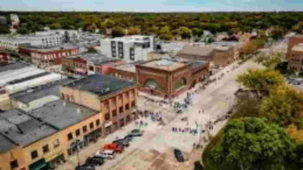
11,621 Parcels
Steele County, Minnesota Property Search Tool
Our Steele County, Minnesota Property Search Tool allows users to instantly find property records online using owner name, parcel number (PIN), property address, or city name. Complete property, ownership, and tax details are available with a few clicks.
Search By Owner Name
Use the registered owner name to locate properties in Steele County, Minnesota, providing complete ownership and tax information for accurate property research.
Search By Address
Enter the property address to find detailed records in Steele County, Minnesota, including ownership, parcel value, and tax assessment data for informed decision-making.
Search By Parcel PIN
The parcel number (PIN) allows an exact property search in Steele County, Minnesota, giving direct access to official records, owner details, land, and improvement values.
Search By City Name
If other search options are unavailable, enter the city name within Steele County, Minnesota to retrieve comprehensive property information, including tax records and ownership history.
Steele County, Minnesota Property Record Details
Unique parcel identification number assigned to each land property recorded within official Steele County, Minnesota records.
Parcel Number
Each property in Steele County, Minnesota is assigned a unique parcel number, allowing users to locate accurate property records, ownership information, and tax data efficiently.
Owner Name
The owner name field shows the registered property owner in Steele County, Minnesota, helping confirm legal ownership and current possession of the parcel.
Full Site Address
Provides the complete physical location of the property in Steele County, Minnesota, including street details to precisely identify where the parcel is situated.
Site Address City
Indicates the city or municipality where the property is located in Steele County, Minnesota, assisting users in understanding the property’s local jurisdiction and community context.
Mailing Address
Shows where official notices, tax bills, and property-related documents are sent. This may differ from the physical address in Steele County, Minnesota.
Site Address Zip
The ZIP code specifies the postal area assigned to the property in Steele County, Minnesota, ensuring accuracy when searching or verifying property records.
Land Value
Represents the assessed value of the land only in Steele County, Minnesota, excluding any buildings or improvements, providing a base estimate for property valuation.
Improved Value
Reflects the value of structures or improvements on the land in Steele County, Minnesota, calculated separately from the land to understand total property worth.
Parcel Vaule
Combines land value and improvement value for the property in Steele County, Minnesota, offering an overall assessment used for taxation and property evaluation purposes.
GIS Arces
Shows the property’s land area using geographic information system mapping data in Steele County, Minnesota, helping users assess the exact size of the parcel.
Structure Year
Indicates the year when the main building on the property in Steele County, Minnesota was originally constructed, aiding in estimating property age and condition.
Last Sale Date
Displays the most recent sale or transfer date of the property in Steele County, Minnesota, allowing users to track ownership history and property market activity.
Tax Parcel Use Code Description
Explains the official tax classification of the property in Steele County, Minnesota, such as residential, commercial, or agricultural, for accurate tax and zoning information
Full Legal Description
Provides the official legal description of the property boundaries and location recorded in Steele County, Minnesota, ensuring precise documentation for ownership and legal purposes.
County Name
Confirms that the property record belongs to Steele County, Minnesota, helping users verify jurisdiction responsible for maintaining property, tax, and parcel data.
Steele County, MN Property Tax & Community Data
Community-level property and tax data across Steele County, Minnesota, including estimated parcels, population, land area, preliminary millage rates, and median property tax bills to provide insight into local taxation and real estate distribution.
| City / Community Name | Total Parcels (Est.) | Total Population (2026) | Area (Sq Mi) | Preliminary Millage Rate (2026) | Median Tax Bill (Est.) |
|---|---|---|---|---|---|
| Owatonna | 11,621 | 26,750 | 15.1 | ~45.8%* | $2,800 – $3,200 |
| Blooming Prairie | 1,904 | 2,010 | 1.4 | ~45.8%* | $1,900 – $2,300 |
| Medford | 1,245 | 1,320 | 1.1 | ~45.8%* | $1,800 – $2,200 |
| Ellendale | ~485 | 675 | 1.0 | ~45.8%* | $1,400 – $1,700 |
| Hope (Unincorp.) | ~110 | 150 | 0.4 | ~45.8%* | $1,100 – $1,400 |
FAQs
How can I search properties in Steele County using a map?
Steele County provides interactive property maps and GIS tools to view parcel boundaries, land details, and geographic information.
Can I search for property by address in Steele County?
Yes, the county allows address-based property searches to access ownership, valuation, and tax information.
What is the Steele County Beacon map?
The Beacon map is an online tool offering detailed property records, parcel maps, and geographic data for easy property research.
How do I look up property taxes in Steele County?
Property tax information can be accessed online via the county’s tax lookup system using the property address or parcel details.
Can I access property records in neighboring counties like Renville County?
Yes, nearby counties like Renville provide similar property search tools and GIS maps, allowing users to compare property data and regional trends.